


6.1 km | 7 km-effort

User


FREE GPS app for hiking
 SityTrail
IGN / Geographical institutes
SityTrail World
The world is yours!
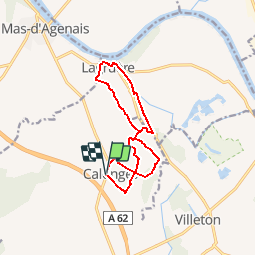
Trail Walking of 11.8 km to be discovered at New Aquitaine, Lot-et-Garonne, Calonges. This trail is proposed by tracegps.
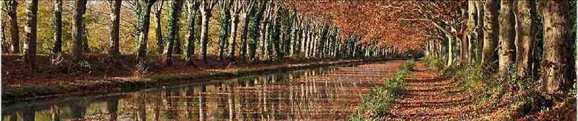
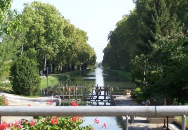
Calonges Communauté de Communes Val de Garonne. Cette randonnée sans difficulté vous fera découvrir les nombreux séchoirs à tabac, témoins d’un passé récent ou l’herbe à Nicot prospérait et les bords ombragés de la voie verte du canal de Garonne. Téléchargez la fiche de cette randonnée sur le site du Tourisme du Lot et Garonne.

On foot
On foot
On foot
On foot
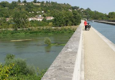
Bicycle tourism

On foot
On foot
On foot
On foot