


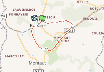

14.4 km | 17.2 km-effort

User


FREE GPS app for hiking
 SityTrail
IGN / Geographical institutes
SityTrail World
The world is yours!
Trail Walking of 5.6 km to be discovered at New Aquitaine, Lot-et-Garonne, Bournel. This trail is proposed by tracegps.
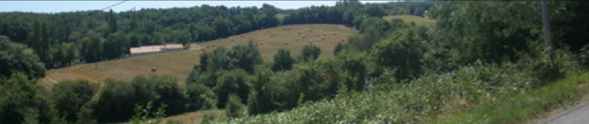
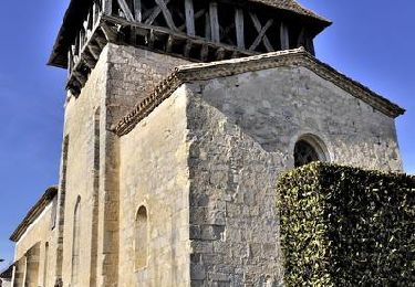
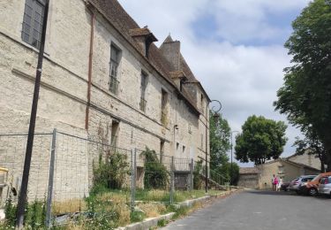
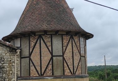
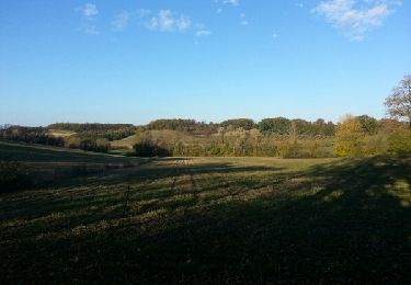
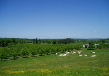
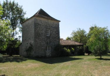
Bournel / Montaut le Jeune / Colombier. De l’église Sainte-Marie-Madeleine, au clocher typique agrémenté d’une galerie de bois, surmontée d'une toiture à quatre versants, cette balade grimpe dans le hameau promontoire de Montaut-le-Jeune. Téléchargez la fiche de cette randonnée sur le site du Tourisme du Lot et Garonne.


Mountain bike
Walking
Road bike
Road bike
Walking
Equestrian

Mountain bike

Walking
Equestrian