


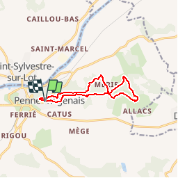

13 km | 17.8 km-effort


User


FREE GPS app for hiking
 SityTrail
IGN / Geographical institutes
SityTrail World
The world is yours!
Trail Walking of 10.5 km to be discovered at New Aquitaine, Lot-et-Garonne, Penne-d'Agenais. This trail is proposed by tracegps.
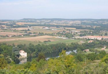
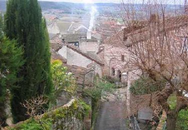
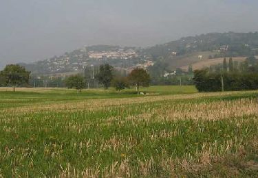
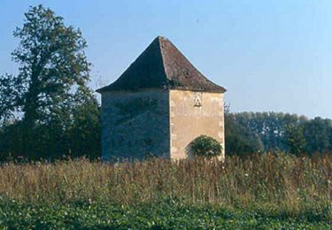
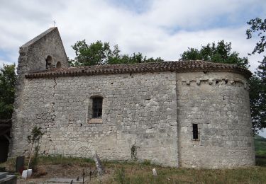
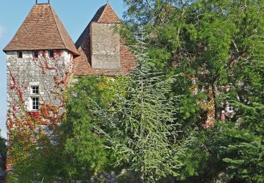
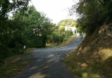
Penne d’Agenais / St Michel Cté Com. du Canton de Penne. Circuit court mais difficile, qui compte de nombreux passages à très forte dénivelée. Les points de vue sur les vallées du Boudouyssou au sud ou du Lot au nord n’en auront que plus d’attrait. Téléchargez la fiche de cette randonnée sur le site du Tourisme du Lot et Garonne. Penne d'agenais, village médiéval in France

Walking
Mountain bike
Walking
Walking
On foot
On foot
On foot
Walking

Mountain bike