


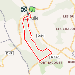

16.6 km | 22 km-effort


User


FREE GPS app for hiking
 SityTrail
IGN / Geographical institutes
SityTrail World
The world is yours!
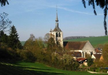
Trail Walking of 5.8 km to be discovered at Grand Est, Aube, Bérulle. This trail is proposed by tracegps.
Circuit proposé par l’Office de Tourisme du Pays d’Othe. Départ du parking proche de l’église de Bérulle. Retrouvez ce circuit sur le site de l’Office du Tourisme. Ce circuit a été numérisé par les randonneurs du CODEPEM. Merci à Jean-Marie.


Walking
Walking
Cycle
Walking
Walking

Mountain bike

Walking
Walking
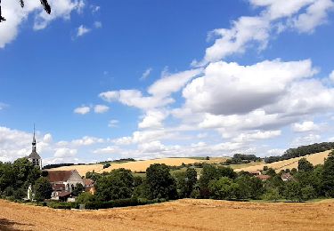
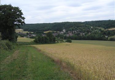
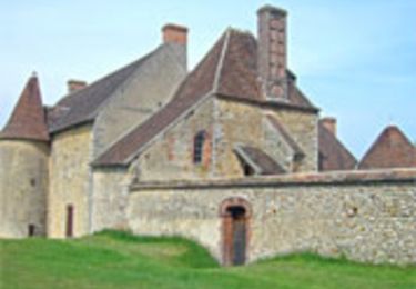
Beau sentier à faire et à découvrir en famille à pied.