


5.8 km | 7.9 km-effort

User


FREE GPS app for hiking
 SityTrail
IGN / Geographical institutes
SityTrail World
The world is yours!
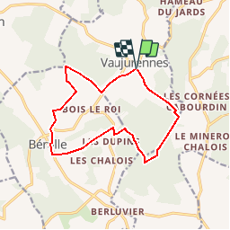
Trail Walking of 12.9 km to be discovered at Grand Est, Aube, Paisy-Cosdon. This trail is proposed by Daneel-89.
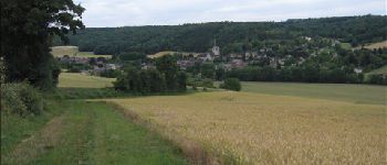
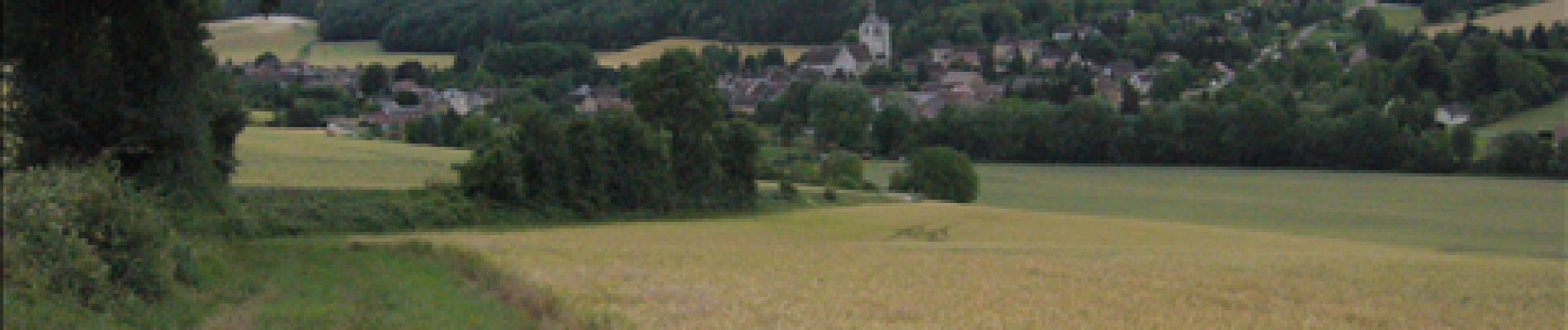
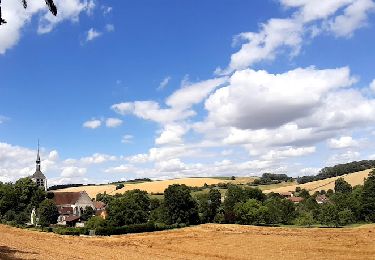
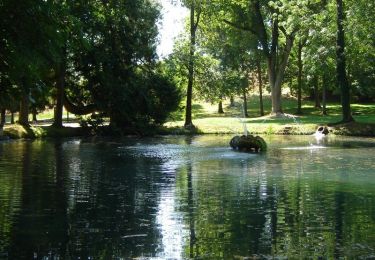
Jolie ballade sympa, toute simple mais avec de jolies vues.
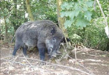
 2011 - Photo 1")
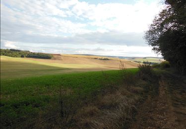
 2011 - Photo 2")
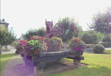
 2011 - Photo 3")
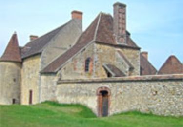
 2011 - Photo 4")
 2011 - Photo 5")
 2011 - Photo 6")
 2011 - Photo 7")
 2011 - Photo 8")

Walking

On foot
Walking
Walking
Walking

Cycle
Walking
Walking