Trail Walking Bérulle - Bérulle Bérulle : Circuit de la Chapelle Sainte-Reine: Circuit de la Chapelle Sainte-Reine - Photo

Bérulle Bérulle : Circuit de la Chapelle Sainte-Reine: Circuit de la Chapelle Sainte-Reine

© OpenStreetMap contributors
Length
Length
13.2 km
Max alt
Max alt
243 m
Uphill gradient
Uphill gradient
242 m
Km-Effort
Km-Effort  
16.4 km
Min alt
Min alt
131 m
Downhill gradient
Downhill gradient
240 m
Boucle
Boucle
Yes
Creation date :
2014-12-10 00:00:00.0
Updated on :
2014-12-10 00:00:00.0

(0 Reviews)

Walking
Walking
4h00
Difficulty : Medium

Scan this QR Code to open this trail in the SityTrail application

FREE GPS app for hiking

Logo SityTrail SityTrail

IGN / Geographical institutes

Download SityTrail from the App Store Download SityTrail from Google Play

Logo SityTrail SityTrail World

The world is yours!

Download SityTrail from the App Store Download SityTrail from Google Play Download SityTrail on Huawei AppGallery

About

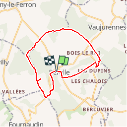
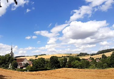
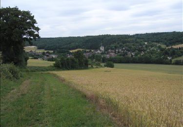
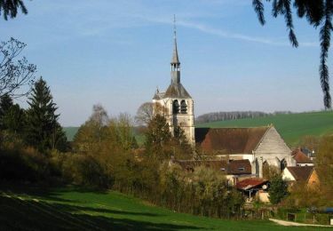
Trail Walking of 13.2 km to be discovered at Grand Est, Aube, Bérulle. This trail is proposed by Daneel-89.

Description

Randonnée : 13 km (Marche : env. 4h)
Boucle : Bérulle - Chapelle Sainte-Reine - Bérulle
Départ/Arrivée : Eglise de Bérulle
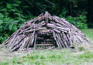
Curiosités :
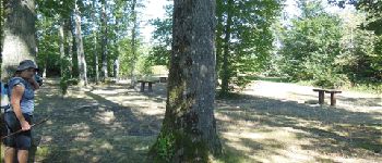
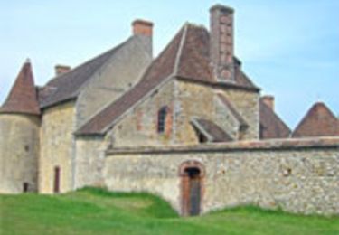
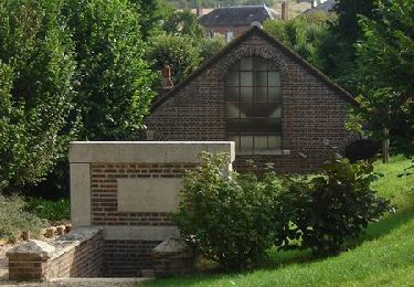
1. Chapelle Sainte-Reine
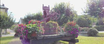
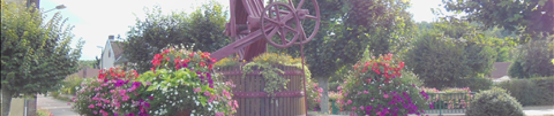
2. Eglise de la Nativité de la Vierge
(Descriptifs   photos : Cf. POI sur carte)

Elevation profile

Photos

Points of interest

Point of interest Bérulle - Chapelle Sainte Reine - Photo
Daneel-89
Point of interest Bérulle - Aire de Pic-nique - Photo
Daneel-89
Point of interest Bérulle - Fresque en trompe-l'oeil - Photo
Daneel-89
Point of interest Bérulle - Pressoir (Route du Cidre) - Photo
Daneel-89

Positioning

Country:
France
Region :
Grand Est
Department/Province :
Aube
Municipality :
Bérulle
Location:
Unknown
Start:(UTM)
549187 ; 5336208 (31U) N.

Trails nearby

Trail Walking Bérulle - Sentier du Fer - Bérulle - Photo
Walking
tracegps

Walking

Easy
(1)
Bérulle, Grand Est, Aube, France
5.8 km | 7.9 km-effort
1h 30min
Yes
Trail Walking Bérulle - bérulle - Photo
Walking
jeannine grandjean

Walking

Very difficult
Bérulle, Grand Est, Aube, France
16.6 km | 22 km-effort
4h 55min
Yes
Trail Walking Paisy-Cosdon - Vaujurennes - Bérulle (Boucle) 2011 - Photo
Walking
Daneel-89

Walking

Easy
Paisy-Cosdon, Grand Est, Aube, France
12.9 km | 15.2 km-effort
4h 0min
Yes
Trail Cycle Rigny-le-Ferron - Circuit de Rigny le Ferron - Photo
Cycle
tracegps

Cycle

Easy
Rigny-le-Ferron, Grand Est, Aube, France
28 km | 33 km-effort
1h 30min
Yes
Trail Walking Rigny-le-Ferron - Promenade des Sources - Rigny le Ferron      - Photo
Walking
tracegps

Walking

Difficult
Rigny-le-Ferron, Grand Est, Aube, France
14.8 km | 19 km-effort
3h 45min
Yes
Trail Walking Bérulle - Circuit de la chapelle Sainte-Reine - Bérulle - Photo
Walking
tracegps

Walking

Medium
(1)
Bérulle, Grand Est, Aube, France
11 km | 14 km-effort
2h 45min
Yes
Trail Mountain bike Bérulle - Randonnée du circuit du fer - Photo
Mountain bike
astro891

Mountain bike

Medium
Bérulle, Grand Est, Aube, France
16.6 km | 21 km-effort
30min
Yes
Trail Walking Rigny-le-Ferron - Promenade des Sources - Rigny le Ferron      - Photo
Walking
c.chehere

Walking

Difficult
Rigny-le-Ferron, Grand Est, Aube, France
14.8 km | 19 km-effort
3h 45min
Yes
Trail Walking Bérulle - berulle patricia - Photo
Walking
jeannine grandjean

Walking

Difficult
Bérulle, Grand Est, Aube, France
11.4 km | 14.4 km-effort
3h 0min
Yes


Close
My subscriptions