


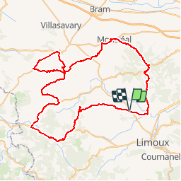


10.7 km | 13.5 km-effort

User


FREE GPS app for hiking
 SityTrail
IGN / Geographical institutes
SityTrail World
The world is yours!
Trail Cycle of 86 km to be discovered at Occitania, Aude, Lauraguel. This trail is proposed by tracegps.
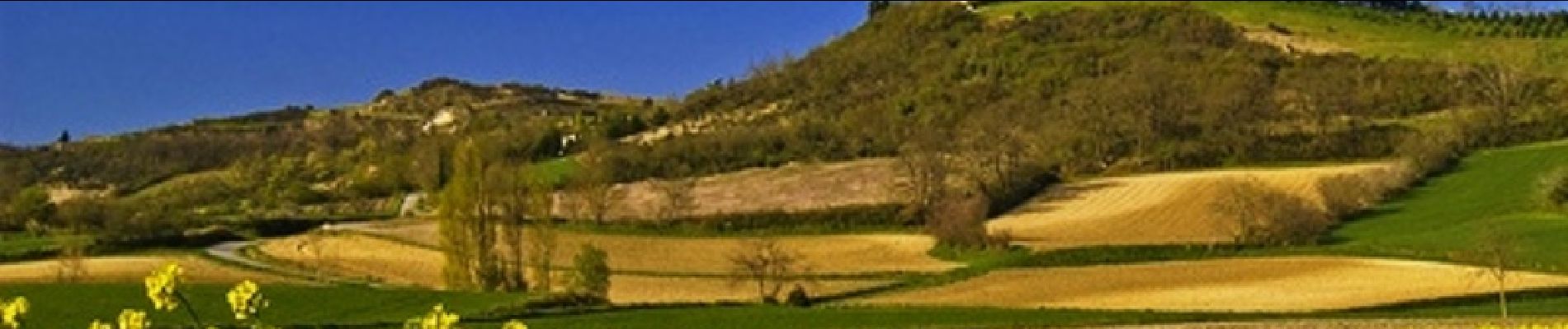
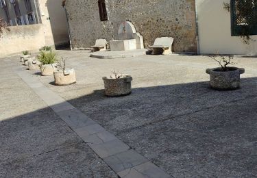
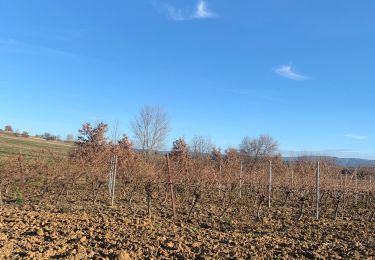
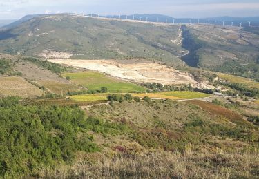
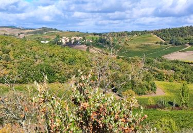
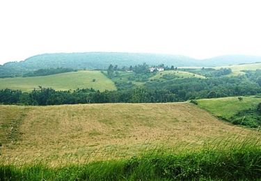
Ce circuit, permet de partir à la découverte de la Malepère et du bas Razès, territoire au relief vallonné qui offre au regard un paysage riche en contraste: vignes, forêts, prairies, champs céréaliers. Ce parcours, de par ses montées et descentes régulières, permet déjà une bonne mise en jambes avant d’affronter les cols du piémont Pyrénéens. De plus, vous traverserez de nombreux villages aux caractéristiques architecturales typiques, tels que les « circulades » ou les villages médiévaux de Montréal et de Fanjeaux. Textes de Patrick Rault et Louis Mounié.


Walking

Walking
Mountain bike

Walking
Walking
Walking

Walking
Cycle