Trail Walking Eaux-Puiseaux - Circuit des trois Monts - Eaux-Puiseaux - Photo

Circuit des trois Monts - Eaux-Puiseaux

 tracegps
tracegps

User

© OpenStreetMap contributors
Length
Length
14.7 km
Max alt
Max alt
291 m
Uphill gradient
Uphill gradient
320 m
Km-Effort
Km-Effort  
19 km
Min alt
Min alt
144 m
Downhill gradient
Downhill gradient
321 m
Boucle
Boucle
Yes
Creation date :
2014-12-10 00:00:00.0
Updated on :
2014-12-10 00:00:00.0

(0 Reviews)

Walking
Walking
3h45
Difficulty : Very difficult

Scan this QR Code to open this trail in the SityTrail application

FREE GPS app for hiking

Logo SityTrail SityTrail

IGN / Geographical institutes

Download SityTrail from the App Store Download SityTrail from Google Play

Logo SityTrail SityTrail World

The world is yours!

Download SityTrail from the App Store Download SityTrail from Google Play Download SityTrail on Huawei AppGallery

About

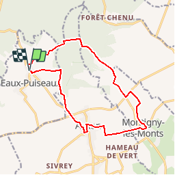
Trail Walking of 14.7 km to be discovered at Grand Est, Aube, Eaux-Puiseaux. This trail is proposed by tracegps.

Description

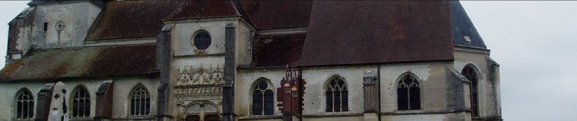
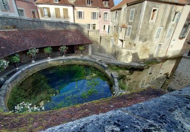
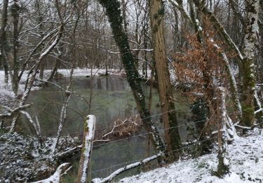
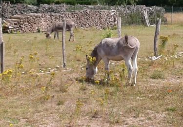
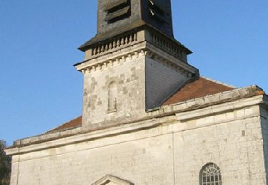
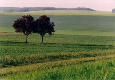
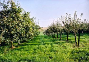
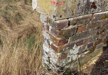
Circuit proposé par l’Office du Tourisme du Chaourçois en Pays d’Armance. Départ de la « Ferme du clocher » à Eaux-Puiseaux. Le circuit traverse 3 villages : Eaux-Puiseaux : Plus jeune commune du département puisque créée en 1849 par la réunification de 5 hameaux (Eaux, Chêne Millot, Puiseaux, les Bordes et le Four), Eaux en Puisseaux était autrefois un village d’agriculteurs, de vignerons et de bûcherons qui a compté jusqu’à 900 Habitants. Auxon : Au pied du massif forestier du pays d’Othe, sur un habitat Gallo-Romain, la commune tire ses activités des produits agricoles et para-agricoles. L’église St Loup fut édifiée sur une élévation dans la 1ère moitié du 16e siècle. Montigny Les Monts : Le village est traversé par son ru dont la source se situe au-dessus du moulin à l’entrée du village. Un lavoir a été récemment restauré. L’église St Nicolas, construite en 1854, présente l’apparence d’une chapelle. Retrouvez ce circuit sur le site de l’Office du Tourisme.

Elevation profile

Photos

Positioning

Country:
France
Region :
Grand Est
Department/Province :
Aube
Municipality :
Eaux-Puiseaux
Location:
Unknown
Start:(UTM)
566205 ; 5330355 (31U) N.

Trails nearby

Trail Road bike Auxon - EXT80 Auxon-01 - Photo
Road bike
Specialized77

Road bike

Easy
Auxon, Grand Est, Aube, France
79 km | 91 km-effort
3h 30min
Yes
Trail Walking Maraye-en-Othe - Les Boulins - Photo
Walking
FPortier

Walking

Easy
Maraye-en-Othe, Grand Est, Aube, France
8.9 km | 10.8 km-effort
2h 21min
Yes
Trail Walking Maraye-en-Othe - Maraye (11+13km) le 21/07/2020 - Photo
Walking
francis1952

Walking

Medium
Maraye-en-Othe, Grand Est, Aube, France
25 km | 30 km-effort
5h 14min
Yes
Trail Walking Montigny-les-Monts - Circuit de Coulore - Montigny-les-Monts - Photo
Walking
tracegps

Walking

Medium
Montigny-les-Monts, Grand Est, Aube, France
8.4 km | 9.7 km-effort
2h 4min
Yes
Trail Walking Maraye-en-Othe - Le circuit des Voirloups - Maraye-en-Othe - Photo
Walking
tracegps

Walking

Very difficult
(1)
Maraye-en-Othe, Grand Est, Aube, France
19.1 km | 24 km-effort
4h 49min
Yes
Trail Walking Maraye-en-Othe - Les Vergers de Champcharme - Maraye-en-Othe - Photo
Walking
tracegps

Walking

Difficult
Maraye-en-Othe, Grand Est, Aube, France
14.3 km | 18.6 km-effort
3h 34min
Yes
Trail Walking Maraye-en-Othe - Maraye,Nogent,Vosnon,Puiseaux,Chenu,Chamsicourt - Photo
Walking
francis1952

Walking

Difficult
Maraye-en-Othe, Grand Est, Aube, France
31 km | 39 km-effort
6h 11min
Yes
Trail Walking Maraye-en-Othe - Maraye 26km le 08.10.2021 - Photo
Walking
francis1952

Walking

Difficult
Maraye-en-Othe, Grand Est, Aube, France
26 km | 32 km-effort
5h 27min
Yes
Trail Walking Maraye-en-Othe - Maraye GRBA 11,5km le 05.08.2021 - Photo
Walking
francis1952

Walking

Medium
Maraye-en-Othe, Grand Est, Aube, France
11.5 km | 14.5 km-effort
2h 44min
Yes


Close
My subscriptions