Trail Walking Bollezeele - Circuit du Pantgat - Bollezeele - Photo

Circuit du Pantgat - Bollezeele

 tracegps
tracegps

User

© OpenStreetMap contributors
Length
Length
6.4 km
Max alt
Max alt
52 m
Uphill gradient
Uphill gradient
50 m
Km-Effort
Km-Effort  
7.1 km
Min alt
Min alt
14 m
Downhill gradient
Downhill gradient
50 m
Boucle
Boucle
Yes
Creation date :
2014-12-10 00:00:00.0
Updated on :
2014-12-10 00:00:00.0

(0 Reviews)

Walking
Walking
1h40
Difficulty : Easy

Scan this QR Code to open this trail in the SityTrail application

FREE GPS app for hiking

Logo SityTrail SityTrail

IGN / Geographical institutes

Download SityTrail from the App Store Download SityTrail from Google Play

Logo SityTrail SityTrail World

The world is yours!

Download SityTrail from the App Store Download SityTrail from Google Play Download SityTrail on Huawei AppGallery

About

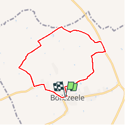
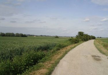
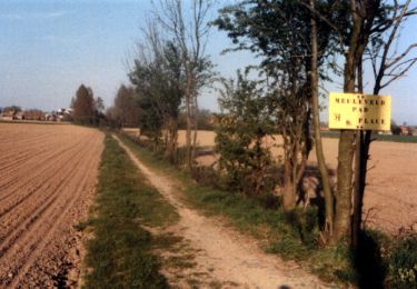
Trail Walking of 6.4 km to be discovered at Hauts-de-France, Nord, Bollezeele. This trail is proposed by tracegps.

Description

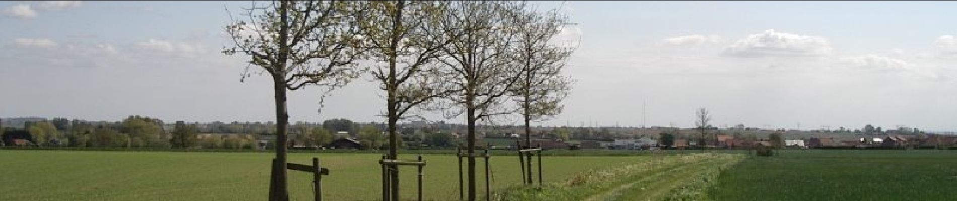
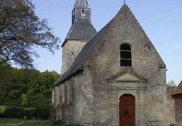
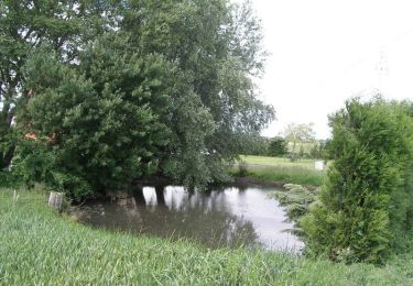
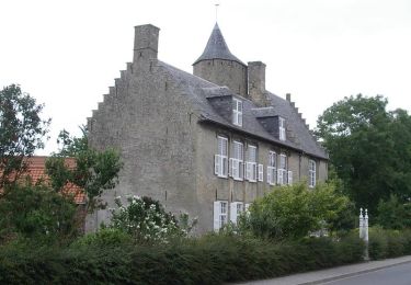
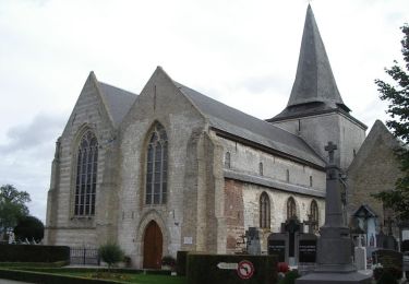
Circuit proposé par le Comité Départemental du Nord. Fiche n° 1 de la pochette «Echappées belles à travers le Nord». Départ de l’église de Bollezeele Circuit à cheval sur l'ancien talus maritime, entre la plaine littorale et le "Houtland" (pays au bois) flamand, sans difficultés particulières. Retrouvez cette randonnée sur le site du Comité Départemental du Tourisme du Nord.

Elevation profile

Photos

Positioning

Country:
France
Region :
Hauts-de-France
Department/Province :
Nord
Municipality :
Bollezeele
Location:
Unknown
Start:(UTM)
452635 ; 5635094 (31U) N.

Trails nearby

Trail Cycle Merckeghem - Boucle de Merckeghem - Photo
Cycle
tracegps

Cycle

Medium
Merckeghem, Hauts-de-France, Nord, France
29 km | 31 km-effort
2h 0min
Yes
Trail Cycle Volckerinckhove - Boucle de Volckerinckhove - Photo
Cycle
tracegps

Cycle

Easy
Volckerinckhove, Hauts-de-France, Nord, France
29 km | 31 km-effort
1h 30min
Yes
Trail Walking Rubrouck - Circuit des mares - Rubrouck - Photo
Walking
tracegps

Walking

Medium
Rubrouck, Hauts-de-France, Nord, France
10 km | 10.4 km-effort
2h 30min
Yes
Trail Walking Zegerscappel - Circuit du Rijssel Berg  -  Zegerscappel - Photo
Walking
tracegps

Walking

Medium
Zegerscappel, Hauts-de-France, Nord, France
9.4 km | 10.2 km-effort
2h 25min
Yes
Trail Walking Volckerinckhove - Volckerinckhove - Village Patrimoine - Photo
Walking
tracegps

Walking

Easy
Volckerinckhove, Hauts-de-France, Nord, France
6.2 km | 6.9 km-effort
1h 30min
Yes
Trail Walking Drincham - Circuit du Nieuwland - Drincham - Photo
Walking
tracegps

Walking

Medium
Drincham, Hauts-de-France, Nord, France
12.5 km | 13.1 km-effort
3h 10min
Yes
Trail Walking Volckerinckhove - Autour de Sainte-Mildrede (Volckerinckhove) - Photo
Walking
tracegps

Walking

Medium
(1)
Volckerinckhove, Hauts-de-France, Nord, France
8.9 km | 10 km-effort
2h 15min
Yes
Trail Walking Merckeghem - Sentier de l'Eekhout Veld - Merckeghem - Photo
Walking
tracegps

Walking

Medium
(1)
Merckeghem, Hauts-de-France, Nord, France
7.3 km | 8.4 km-effort
2h 0min
Yes
Trail Cycle Broxeele - Les Rives de l'Yser 4 - Broxeele - Photo
Cycle
tracegps

Cycle

Medium
Broxeele, Hauts-de-France, Nord, France
27 km | 29 km-effort
2h 0min
Yes


Close
My subscriptions