


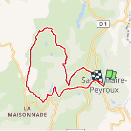

7.7 km | 11.3 km-effort

User


FREE GPS app for hiking
 SityTrail
IGN / Geographical institutes
SityTrail World
The world is yours!
Trail Walking of 8.3 km to be discovered at New Aquitaine, Corrèze, Saint-Hilaire-Peyroux. This trail is proposed by tracegps.
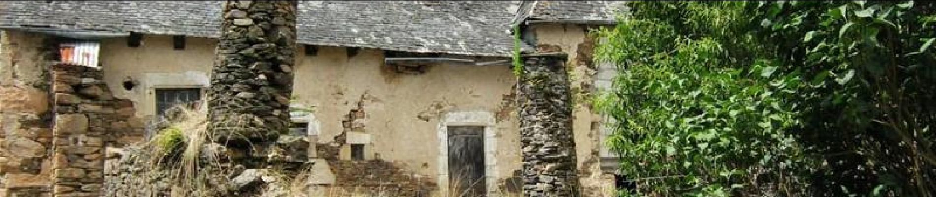
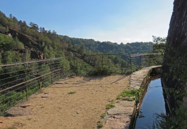
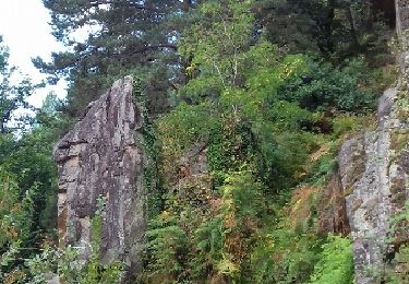
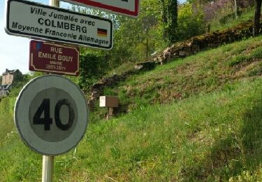
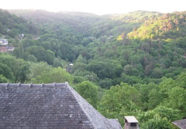
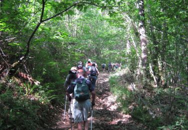
De crêtes en vallons 8 km - Saint Hilaire Peyroux - Pays de Tulle. Vous cheminerez dans la vallée de la Couze et sur les crêtes qui dominent notre commune… Au Puy de Leyrat, juste avant le village de Vieillefond, panorama à 180 ° sur la basse Corrèze. Sur votre circuit : 2 anciens moulins à eau, à Bourguet, et à Saquet. Téléchargez la fiche du circuit sur le site du Conseil Général de la Corrèze. Renseignements : Mairie de St Hilaire Peyroux 05.55.25.72.11

Walking
Walking
Walking

Trail
Walking

Walking
Walking
Walking
Walking
Beaucoup de route