Trail Walking Lauzerte - La chapelle de Saint Sernin du Bosc - Lauzerte - Photo

La chapelle de Saint Sernin du Bosc - Lauzerte

 tracegps
tracegps

User

© OpenStreetMap contributors
Length
Length
10.7 km
Max alt
Max alt
233 m
Uphill gradient
Uphill gradient
339 m
Km-Effort
Km-Effort  
15.2 km
Min alt
Min alt
101 m
Downhill gradient
Downhill gradient
337 m
Boucle
Boucle
Yes
Creation date :
2014-12-10 00:00:00.0
Updated on :
2014-12-10 00:00:00.0

(0 Reviews)

Walking
Walking
3h00
Difficulty : Medium

Scan this QR Code to open this trail in the SityTrail application

FREE GPS app for hiking

Logo SityTrail SityTrail

IGN / Geographical institutes

Download SityTrail from the App Store Download SityTrail from Google Play

Logo SityTrail SityTrail World

The world is yours!

Download SityTrail from the App Store Download SityTrail from Google Play Download SityTrail on Huawei AppGallery

About

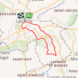
Trail Walking of 10.7 km to be discovered at Occitania, Tarn-et-Garonne, Lauzerte. This trail is proposed by tracegps.

Description

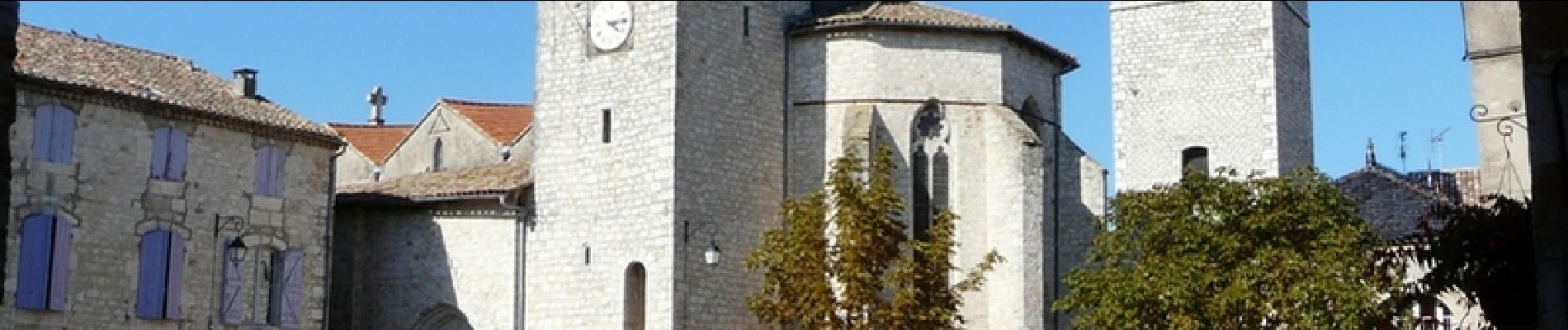
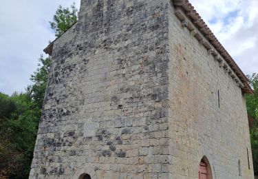
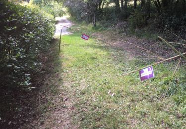
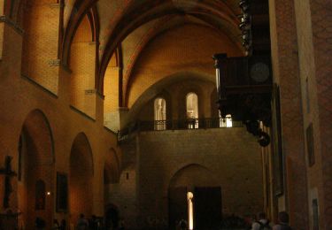
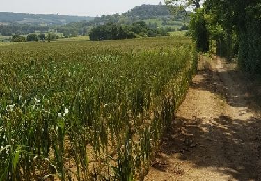
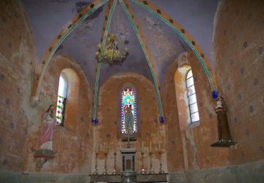
Circuit proposé par l'Office de Tourisme de Lauzerte, Départ de la maison de retraite de Lauzerte. Sur le Chemin de Saint Jacques de Compostelle, on se promènera par de jolis sentiers escarpés, dans les bois de chênes du Quercy avec, à la clé, la découverte de la Chapelle de Saint Sernin du Bosc et son magnifique site de la « Combe du miel ». Retrouvez les circuits de Lauzerte sur le site de l'Office de Tourisme de Lauzerte.

Elevation profile

Photos

Positioning

Country:
France
Region :
Occitania
Department/Province :
Tarn-et-Garonne
Municipality :
Lauzerte
Location:
Unknown
Start:(UTM)
351480 ; 4901925 (31T) N.

Trails nearby

Trail Walking Lauzerte - lauzerte moissac - Photo
Walking
fab0202

Walking

Medium
Lauzerte, Occitania, Tarn-et-Garonne, France
29 km | 38 km-effort
7h 39min
No
Trail Walking Lauzerte - Laurzerte ses alentours  - Photo
Walking
Curbelie

Walking

Medium
Lauzerte, Occitania, Tarn-et-Garonne, France
17.6 km | 23 km-effort
5h 7min
Yes
Trail Walking Lauzerte - Tronçon St Jacques Lauzerte Moissac  - Photo
Walking
choubaka77

Walking

Very difficult
Lauzerte, Occitania, Tarn-et-Garonne, France
29 km | 39 km-effort
7h 31min
No
Trail Walking Lauzerte - CC_Velay_EA_17_Lauzerte_Moissac_20080817 - Photo
Walking
patrickdanilo

Walking

Medium
Lauzerte, Occitania, Tarn-et-Garonne, France
26 km | 33 km-effort
7h 6min
No
Trail Walking Lauzerte - Lauzerte Rouille Lauzerte  - Photo
Walking
jgu5108

Walking

Medium
Lauzerte, Occitania, Tarn-et-Garonne, France
23 km | 32 km-effort
6h 4min
Yes
Trail Walking Montlauzun - Montlauzun - St Martin - Chemin de Compostelle - Photo
Walking
tracegps

Walking

Very difficult
Montlauzun, Occitania, Lot, France
23 km | 31 km-effort
9h 49min
No
Trail Walking Lauzerte - lauzerte-moissac 9.7.2017 - Photo
Walking
mota.filipe

Walking

Very easy
Lauzerte, Occitania, Tarn-et-Garonne, France
26 km | 34 km-effort
7h 59min
No
Trail Cycle Lauzerte - 2012-05-15 etape 6 - Photo
Cycle
FERAUD

Cycle

Easy
Lauzerte, Occitania, Tarn-et-Garonne, France
82 km | 96 km-effort
5h 57min
No
Trail Walking Lauzerte - Lauzerte - Photo
Walking
JujuDelfio

Walking

Medium
Lauzerte, Occitania, Tarn-et-Garonne, France
11.6 km | 16.7 km-effort
3h 0min
Yes


Close
My subscriptions