


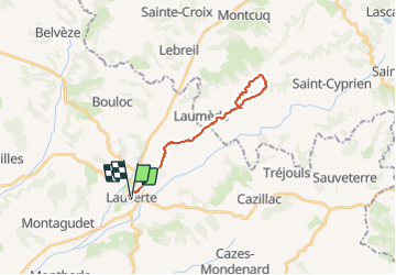

29 km | 38 km-effort


User


FREE GPS app for hiking
 SityTrail
IGN / Geographical institutes
SityTrail World
The world is yours!
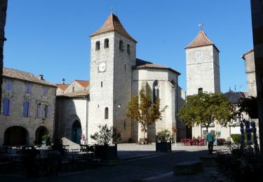
Trail Walking of 23 km to be discovered at Occitania, Tarn-et-Garonne, Lauzerte. This trail is proposed by jgu5108.
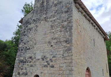
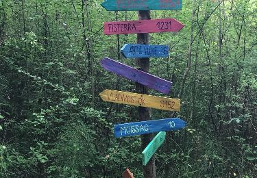
Belle balade sur le GR5


Walking
Walking

Walking

Walking
Walking

Walking
Walking

Cycle

Walking