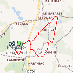

10.2 km | 14 km-effort


User


FREE GPS app for hiking
 SityTrail
IGN / Geographical institutes
SityTrail World
The world is yours!
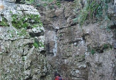
Trail Walking of 7.9 km to be discovered at New Aquitaine, Dordogne, Preyssac-d'Excideuil. This trail is proposed by tracegps.
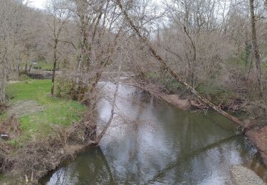
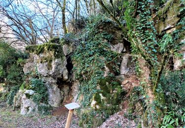
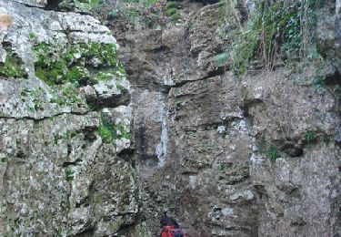
Circuit proposé par le comité d'animation touristique et culturelle du Pays de Lanouaille. Départ place de l’église au clocher-mur du XIIIème siècle. Ancienne gare du « tacot » qui va être restaurée par la commune. Le « tacot » était un petit train qui parcourut la ligne Périgueux-Saint-Yrieix-la-Perche de 1887 à 1949. L’ancienne voie fut aménagée en route ou chemin ou achetée par des particuliers. Le circuit emprunte aussi une ancienne route rectiligne dite « Napoléon » (Limoges Cahors) peut-être d’origine romaine à travers bois. Retour en surplomb du village et son lavoir à « banches » de pierre.


Walking
Walking

Mountain bike
Walking

Walking

Walking

Walking
On foot