


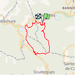


17.7 km | 26 km-effort

User


FREE GPS app for hiking
 SityTrail
IGN / Geographical institutes
SityTrail World
The world is yours!
Trail Walking of 14.3 km to be discovered at Occitania, Gard, Peyrolles. This trail is proposed by tracegps.
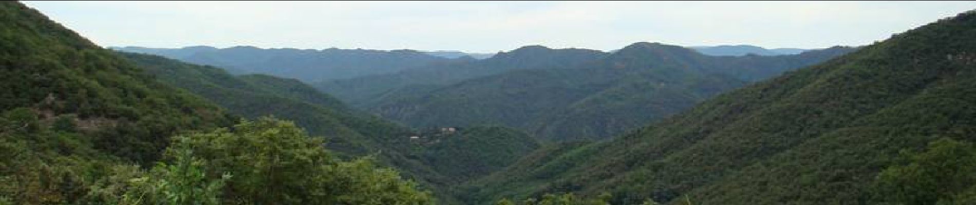
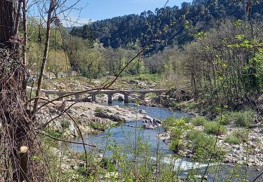
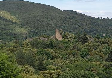
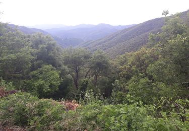
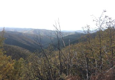
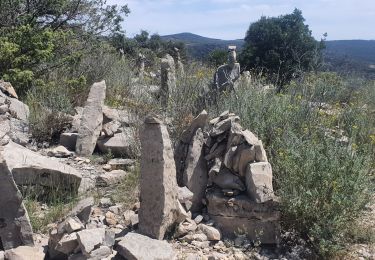
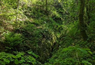
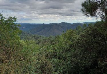
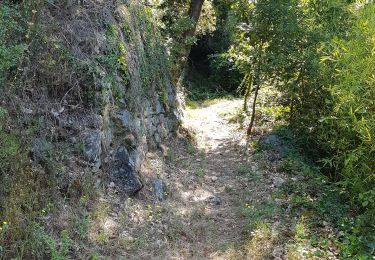
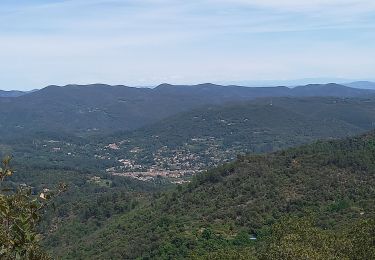
Circuit proposé par l'Office de Tourisme de la Vallée Borgne. Vos pas vont vous guider au travers de cette balade au sein de l’histoire des Cévennes, celle d’une vie rurale aussi rude qu’intense voire ingrate forgeant un esprit grégaire de résistance. Ici, lieux-dits, château, maison de maître, bâtisse en schiste vous raconteront la vaillante défense d’hommes et de femmes pour préserver leur liberté de croyance. Départ du virage de la Planque à Peyrolles. La pochette de 15 circuits balisés est en vente (5€) à l’Office de Tourisme de la Vallée Borgne. L’Office de Tourisme est ouvert toute l'année. Vous trouverez sur place de quoi se restaurer et dormir.


Walking
Walking
Walking
Walking
Walking
Walking
Walking
Walking