


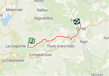


9.3 km | 18.5 km-effort


User


FREE GPS app for hiking
 SityTrail
IGN / Geographical institutes
SityTrail World
The world is yours!
Trail Mountain bike of 15.6 km to be discovered at Occitania, Pyrénées-Orientales, Sauto. This trail is proposed by fine66.
premiere descente a olette de la saison,avec:louis,batase,pau,
manolo,la mousse,pape,e po,ian


Walking

Walking

Walking

Walking
Walking
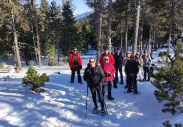
Snowshoes
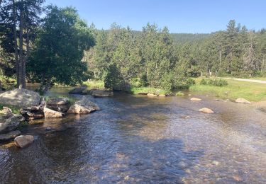
Walking

Snowshoes

Snowshoes