Trail Walking Celles-sur-Belle - Celles-sur-Belle  - Photo
 olaze
olaze

User

© OpenStreetMap contributors
Length
Length
9.6 km
Max alt
Max alt
165 m
Uphill gradient
Uphill gradient
153 m
Km-Effort
Km-Effort  
11.6 km
Min alt
Min alt
98 m
Downhill gradient
Downhill gradient
152 m
Boucle
Boucle
Yes
Creation date :
2014-12-10 00:00:00.0
Updated on :
2014-12-10 00:00:00.0

(0 Reviews)

Walking
Walking
2h41
Difficulty : Medium

Scan this QR Code to open this trail in the SityTrail application

FREE GPS app for hiking

Logo SityTrail SityTrail

IGN / Geographical institutes

Download SityTrail from the App Store Download SityTrail from Google Play

Logo SityTrail SityTrail World

The world is yours!

Download SityTrail from the App Store Download SityTrail from Google Play Download SityTrail on Huawei AppGallery

About

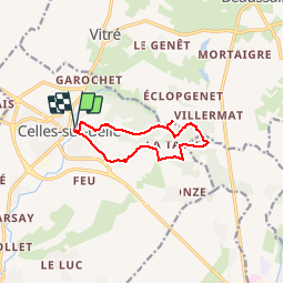
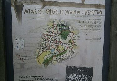
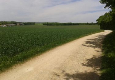
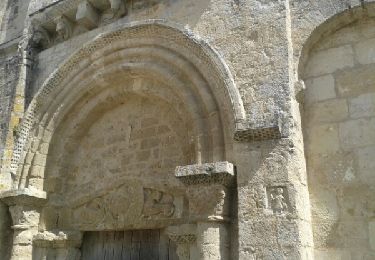
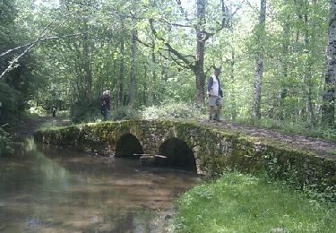
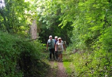
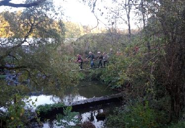
Trail Walking of 9.6 km to be discovered at New Aquitaine, Deux-Sèvres, Celles-sur-Belle. This trail is proposed by olaze.

Description

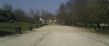
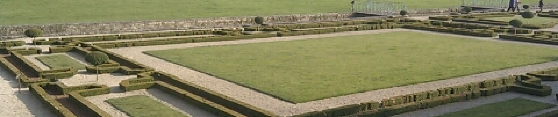
Départ et retour de Celles-sur-Belle.A travers bois et campagne.Bien valloné.
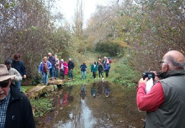
Club rando Bessines.

Elevation profile

Photos

Points of interest

Point of interest Celles-sur-Belle - Depart - Photo
olaze
CELLES-SUR-BELLE 

Positioning

Country:
France
Region :
New Aquitaine
Department/Province :
Deux-Sèvres
Municipality :
Celles-sur-Belle
Location:
Celles-sur-Belle
Start:(UTM)
715139 ; 5126993 (30T) N.

Trails nearby

Trail Walking Beaussais-Vitré - Vitré circuit 2b - Photo
Walking
olaze

Walking

Medium
Beaussais-Vitré, New Aquitaine, Deux-Sèvres, France
9.8 km | 12.1 km-effort
2h 37min
Yes
Trail Walking Celles-sur-Belle - Celles-sur-Belle 2 - Photo
Walking
olaze

Walking

Medium
Celles-sur-Belle, New Aquitaine, Deux-Sèvres, France
9.1 km | 11.1 km-effort
2h 32min
Yes
Trail Walking Melle - JFT YB Etape8 5-5-2014  - Photo
Walking
jeff2

Walking

Medium
Melle, New Aquitaine, Deux-Sèvres, France
35 km | 38 km-effort
7h 49min
No
Trail Walking Celles-sur-Belle - JFT YB Repos 4-5-2014  - Photo
Walking
jeff2

Walking

Easy
Celles-sur-Belle, New Aquitaine, Deux-Sèvres, France
17.7 km | 21 km-effort
3h 9min
No
Trail Walking Aigondigné - Thorigné (St Cous) - Photo
Walking
olaze

Walking

Easy
Aigondigné, New Aquitaine, Deux-Sèvres, France
8.7 km | 10.1 km-effort
2h 46min
Yes
Trail Walking Beaussais-Vitré - Vitré circuit2b mai 2018 - Photo
Walking
olaze

Walking

Medium
Beaussais-Vitré, New Aquitaine, Deux-Sèvres, France
10.4 km | 12.7 km-effort
2h 38min
Yes
Trail Walking Prailles-la-Couarde - Lambon circuit 9 km - Photo
Walking
olaze

Walking

Easy
Prailles-la-Couarde, New Aquitaine, Deux-Sèvres, France
9 km | 10.4 km-effort
2h 15min
Yes
Trail Mountain bike Prailles-la-Couarde -  Les Cabrioles du Lambon - Photo
Mountain bike
tracegps

Mountain bike

Difficult
Prailles-la-Couarde, New Aquitaine, Deux-Sèvres, France
38 km | 44 km-effort
3h 0min
Yes
Trail Walking Celles-sur-Belle - Celles sur Bel CH - Photo
Walking
christ41

Walking

Very easy
Celles-sur-Belle, New Aquitaine, Deux-Sèvres, France
6.8 km | 8.2 km-effort
1h 56min
No


Close
My subscriptions