


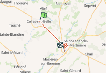


9.8 km | 12.1 km-effort

User


FREE GPS app for hiking
 SityTrail
IGN / Geographical institutes
SityTrail World
The world is yours!
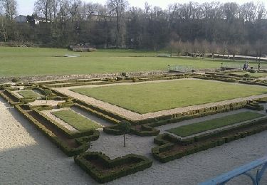
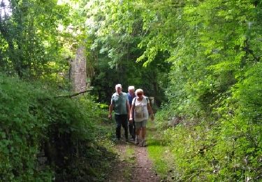
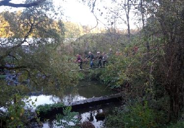
Trail Walking of 17.7 km to be discovered at New Aquitaine, Deux-Sèvres, Celles-sur-Belle. This trail is proposed by jeff2.
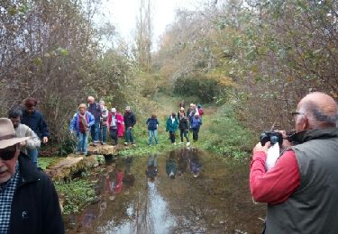
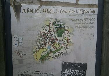
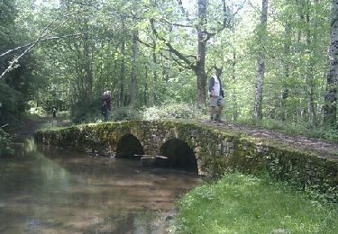
Journée de repos à MELLE avec Véronique


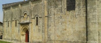
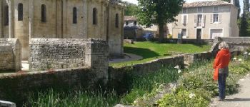
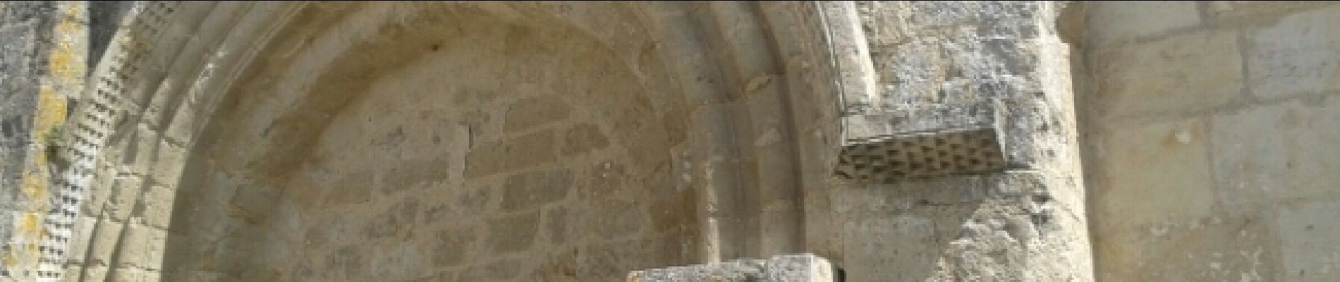
23 photos in total. Please click on a photo to see them all in the gallery.
Walking
Walking
Walking
Walking
Walking
Walking
Walking
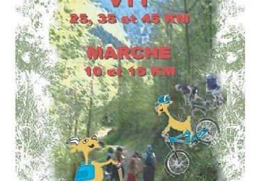
Mountain bike

Walking