


12.1 km | 15.3 km-effort

User


FREE GPS app for hiking
 SityTrail
IGN / Geographical institutes
SityTrail World
The world is yours!
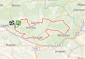
Trail Cycle of 85 km to be discovered at Provence-Alpes-Côte d'Azur, Vaucluse, Cadenet. This trail is proposed by tracegps.
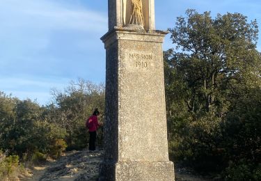
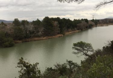
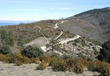
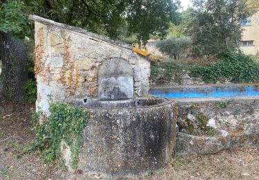
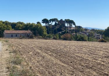
Les villages blottis au creux de notre magnifique Luberon ou perchés comme des phares, vous obligeront à regarder ou à lever la tête pour vivre pleinement ces beautés inoubliables. Ils vous accueilleront pour une halte fraîche et reposante sur leurs places ombragées, auprès de leurs fontaines. Suivez nos petites routes pittoresques et sereines, laissez-vous charmer : c’est un vrai bonheur ! Départ de l'Office de Tourisme, place du tambour d'Arcole à Cadenet. Retrouvez plus d’informations et téléchargez la fiche du circuit sur le site de la Provence en vélo.


Walking

Walking
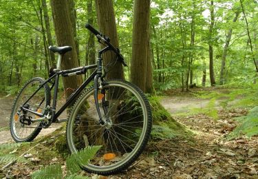
Mountain bike

Walking
Walking
Walking
Walking
On foot
Walking