


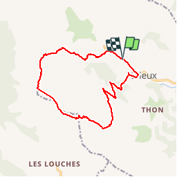

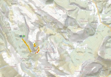
19.5 km | 30 km-effort


User


FREE GPS app for hiking
 SityTrail
IGN / Geographical institutes
SityTrail World
The world is yours!
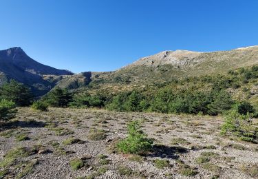
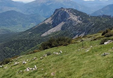
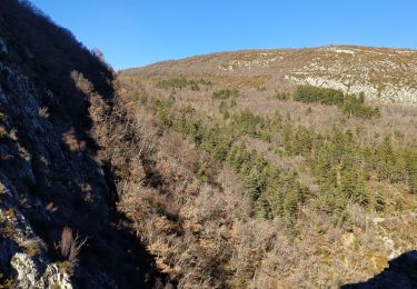
Trail Walking of 17.9 km to be discovered at Provence-Alpes-Côte d'Azur, Alpes-de-Haute-Provence, Blieux. This trail is proposed by pascalspr.
Cherche coéquipier pour rando été hiver 0674087501


Walking

Equestrian
Walking
Walking
Walking
Walking
Walking

Walking
Walking