


13.1 km | 16.5 km-effort


User


FREE GPS app for hiking
 SityTrail
IGN / Geographical institutes
SityTrail World
The world is yours!
Trail Bicycle tourism of 67 km to be discovered at New Aquitaine, Pyrénées-Atlantiques, Navarrenx. This trail is proposed by potofe.
Tourisme 64
Rando N°2
Parcours ½ journée, facile, pour cyclotouriste normalement entrainé. Ne nécessite pas de petits braquets Petirs braquets recommandés (28x24 ou 28x26 par exemple).
Walking
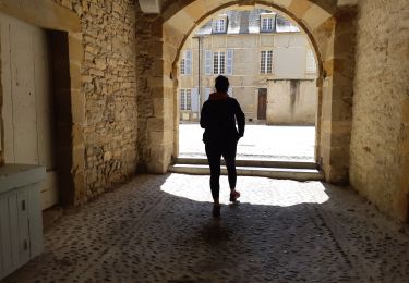
Walking

Walking

Walking

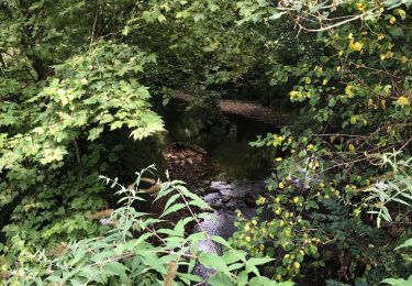
Canoe - kayak
Walking

Bicycle tourism
Walking
Walking