


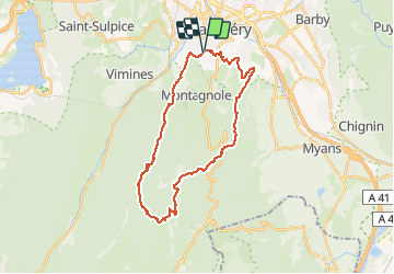


24 km | 34 km-effort

User


FREE GPS app for hiking
 SityTrail
IGN / Geographical institutes
SityTrail World
The world is yours!
Trail Running of 29 km to be discovered at Auvergne-Rhône-Alpes, Savoy, Jacob-Bellecombette. This trail is proposed by pzellner.
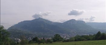
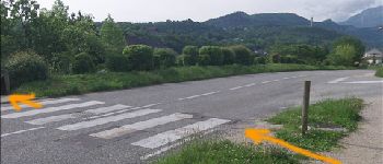
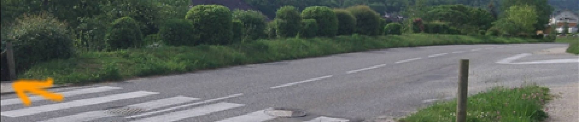
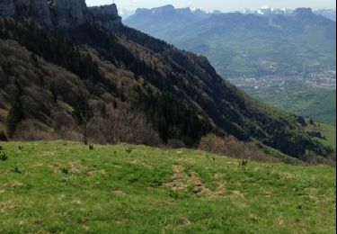
Belle ballade à la journée ou sur deux jours qui fait le tour des Drières. Elle débute par l'arête de la Coche puis poursuit jusqu'à la pointe de la Gorgeat. Une petite incursion dans les alpages de Chartreuse permet de gagner le col des Fontanettes pour rentrer ensuite par Saint Cassin.


Mountain bike

Mountain bike

Walking
Mountain bike
Walking
Walking
Mountain bike

Running
Mountain bike