


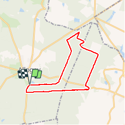

22 km | 27 km-effort

User


FREE GPS app for hiking
 SityTrail
IGN / Geographical institutes
SityTrail World
The world is yours!
Trail Walking of 13.1 km to be discovered at Centre-Loire Valley, Cher, Allogny. This trail is proposed by tracegps.
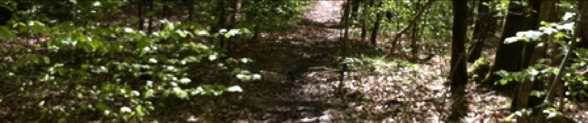
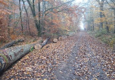
Départ de l'étang d'Allogny route de Bourges sur la D944. Randonnée dans la forêt, avec la possibilité de voir du gibier.


On foot

Mountain bike
Mountain bike
Mountain bike

Walking
Mountain bike
Mountain bike