


5.1 km | 8.9 km-effort

User


FREE GPS app for hiking
 SityTrail
IGN / Geographical institutes
SityTrail World
The world is yours!
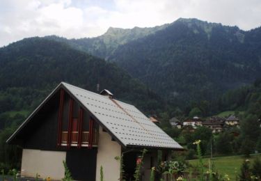
Trail Cycle of 45 km to be discovered at Auvergne-Rhône-Alpes, Savoy, Albertville. This trail is proposed by biollay.
Itinéraire Touristique à Vélo de Randonnée, Etape 1 Val d'Arly


Walking

Motor

Walking
Other activity
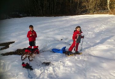
Snowshoes

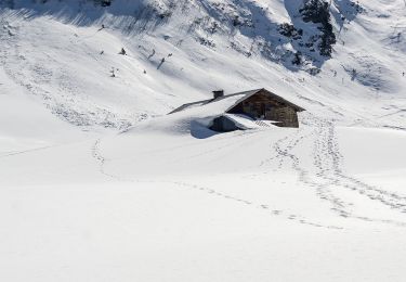
Walking
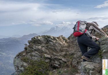
Walking
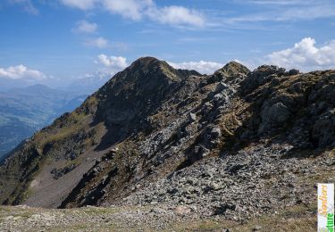
Walking
Walking
super
Superbe randonnée alliant Cyclo et visite culturelles. La plupart du temps sur pistes cyclable ou toute petite route.Des panoramas à couper le souffle.