


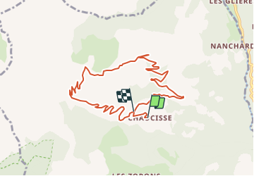


5.7 km | 8.2 km-effort


User


FREE GPS app for hiking
 SityTrail
IGN / Geographical institutes
SityTrail World
The world is yours!
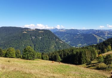
Trail Walking of 9.5 km to be discovered at Auvergne-Rhône-Alpes, Savoy, Saint-Nicolas-la-Chapelle. This trail is proposed by albertville.
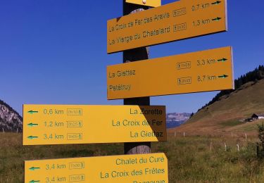
La Croix Stata- La croix Cartier

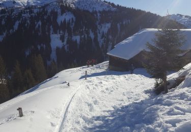
Snowshoes

Walking

Motor
Walking
Snowshoes
Walking
Walking
Walking
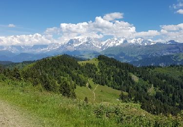
Walking
Balade courte très agréable.