


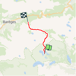


16.2 km | 31 km-effort

User


FREE GPS app for hiking
 SityTrail
IGN / Geographical institutes
SityTrail World
The world is yours!
Trail Walking of 11.3 km to be discovered at Occitania, Hautespyrenees, Vielle-Aure. This trail is proposed by francois911.
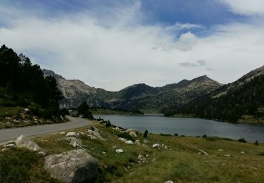
Du Lac d'Aubert au pont de Gaubie par le col de Madamète


Walking

Walking

Walking

Walking

Walking

Walking

Walking

Walking
Walking