


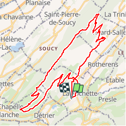

9 km | 20 km-effort


User


FREE GPS app for hiking
 SityTrail
IGN / Geographical institutes
SityTrail World
The world is yours!
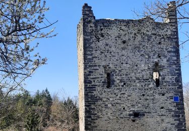
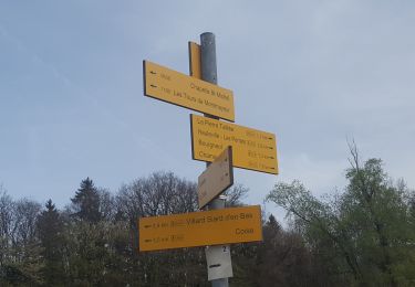
Trail Mountain bike of 25 km to be discovered at Auvergne-Rhône-Alpes, Savoy, Valgelon-La Rochette. This trail is proposed by jbmathi.
route chemin

Walking
Walking
Walking
Walking
Walking
Walking
Walking

Walking
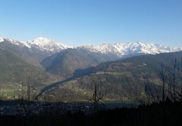
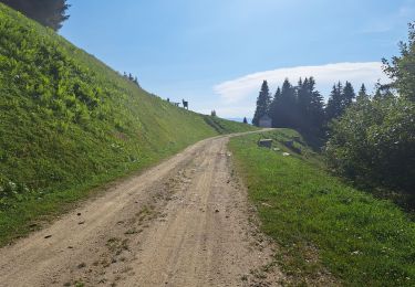
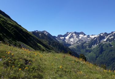
Mountain bike
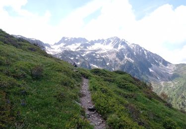
On peut pousser jusqu'à la cochette, refaire une descente par les chemins et on a une ballade made in bonheur