Trail Walking Lutter - LM - Photo
 dick68
dick68

User

© OpenStreetMap contributors
Length
Length
10.7 km
Max alt
Max alt
678 m
Uphill gradient
Uphill gradient
278 m
Km-Effort
Km-Effort  
14.4 km
Min alt
Min alt
481 m
Downhill gradient
Downhill gradient
275 m
Boucle
Boucle
Yes
Creation date :
2014-12-10 00:00:00.0
Updated on :
2014-12-10 00:00:00.0

(0 Reviews)

Walking
Walking
--
Difficulty : Easy

Scan this QR Code to open this trail in the SityTrail application

FREE GPS app for hiking

Logo SityTrail SityTrail

IGN / Geographical institutes

Download SityTrail from the App Store Download SityTrail from Google Play

Logo SityTrail SityTrail World

The world is yours!

Download SityTrail from the App Store Download SityTrail from Google Play Download SityTrail on Huawei AppGallery

About

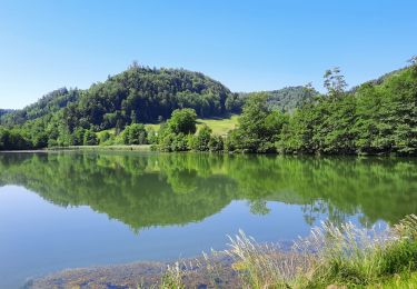
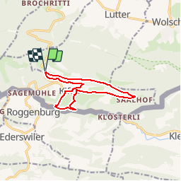
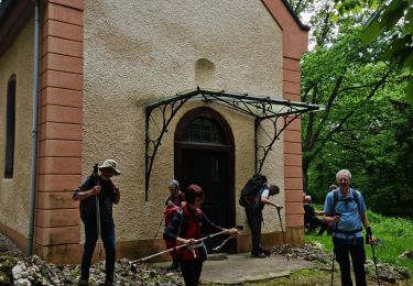
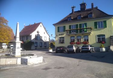
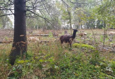
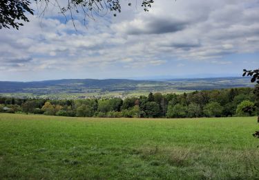
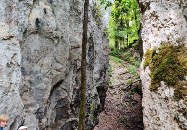
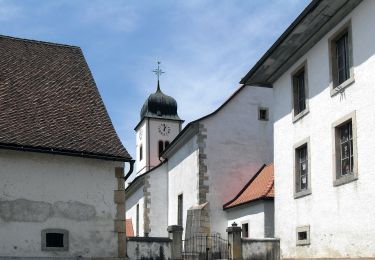
Trail Walking of 10.7 km to be discovered at Grand Est, Haut-Rhin, Lutter. This trail is proposed by dick68.

Description

Schlosswald - Blauenberg - Saalhof - Krumgestell - Kiffis - Centre Equestre - Schlosswald

Elevation profile

Positioning

Country:
France
Region :
Grand Est
Department/Province :
Haut-Rhin
Municipality :
Lutter
Location:
Unknown
Start:(UTM)
375323 ; 5256199 (32T) N.

Trails nearby

Trail Walking Wolschwiller - Rando CLAS du 09/05/202..par PBo - Photo
Walking
boubou68

Walking

Very difficult
Wolschwiller, Grand Est, Haut-Rhin, France
20 km | 30 km-effort
4h 24min
Yes
Trail Walking Wolschwiller - Reco Rando CLAS du 09/05/2024 - Photo
Walking
boubou68

Walking

Very difficult
Wolschwiller, Grand Est, Haut-Rhin, France
18.9 km | 28 km-effort
3h 54min
Yes
Trail Walking Wolschwiller - Le sentier des douaniers - Wolschwiller - Photo
Walking
helmut68

Walking

Medium
(1)
Wolschwiller, Grand Est, Haut-Rhin, France
12.2 km | 18.1 km-effort
3h 30min
Yes
Trail Walking Lutter - rdpr 20200929 lutter - Photo
Walking
GUIDE
stempfel52

Walking

Difficult
Lutter, Grand Est, Haut-Rhin, France
15.8 km | 23 km-effort
4h 52min
Yes
Trail Walking Wolschwiller - wolschwiller - Photo
Walking
jcguew

Walking

Easy
Wolschwiller, Grand Est, Haut-Rhin, France
7.3 km | 12.7 km-effort
4h 15min
No
Trail Walking Oltingue - randonnée au départ d'Oltingue chapelle St Martin - Photo
Walking
sitykathy

Walking

Difficult
Oltingue, Grand Est, Haut-Rhin, France
13.4 km | 18.2 km-effort
3h 25min
Yes
Trail On foot Pleigne - Sentier panoramique - Photo
On foot
PRO

On foot

Easy
Pleigne, Jura, District de Delémont, Switzerland
5.7 km | 6.8 km-effort
1h 33min
Yes
Trail On foot Pleigne - Pleigne - Bourrignon - Photo
On foot
PRO

On foot

Easy
Pleigne, Jura, District de Delémont, Switzerland
4.9 km | 6.9 km-effort
1h 34min
No
Trail Road bike Ferrette - Lucelle - Photo
Road bike
PhilippeC54

Road bike

Medium
Ferrette, Grand Est, Haut-Rhin, France
53 km | 66 km-effort
3h 10min
Yes


Close
My subscriptions