


10.6 km | 21 km-effort

User


FREE GPS app for hiking
 SityTrail
IGN / Geographical institutes
SityTrail World
The world is yours!
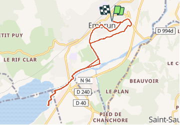
Trail Walking of 9.3 km to be discovered at Provence-Alpes-Côte d'Azur, Hautes-Alpes, Embrun. This trail is proposed by SyMA.
Belle rando tres facile
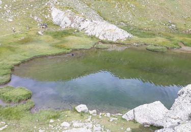
vue sur Embrun jusque plan d'eau au bord du lac
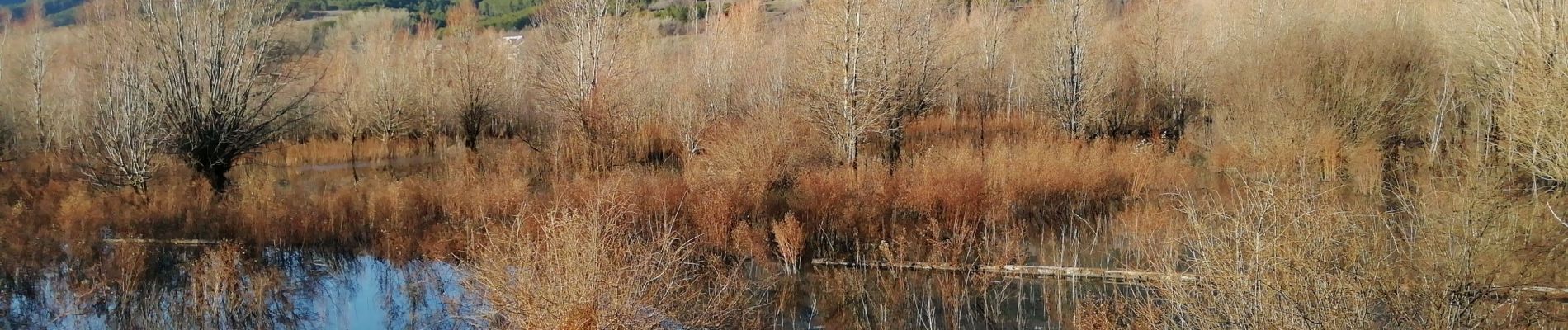
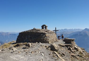
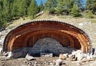
 - Photo 1")
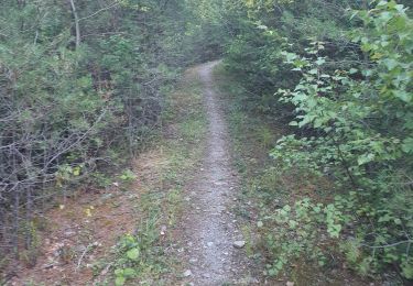
 - Photo 2")
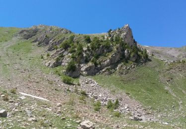
 - Photo 3")
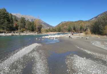
 - Photo 4")
 - Photo 5")
 - Photo 6")

Walking

Walking

Walking
Walking
Walking
Walking
Walking
Walking
Walking