


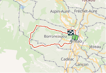

9.8 km | 14.9 km-effort


User


FREE GPS app for hiking
 SityTrail
IGN / Geographical institutes
SityTrail World
The world is yours!
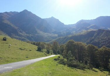
Trail Running of 12.6 km to be discovered at Occitania, Hautespyrenees, Arreau. This trail is proposed by dbellanger.
Durée correspondant à une montée en marche dynamique et descente en courant

Walking

Snowshoes

Walking
Mountain bike
Walking
Nordic walking

Walking
Snowshoes
Walking