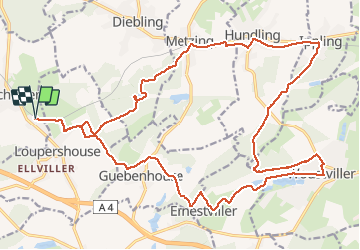

8.7 km | 10.7 km-effort


User


FREE GPS app for hiking
 SityTrail
IGN / Geographical institutes
SityTrail World
The world is yours!
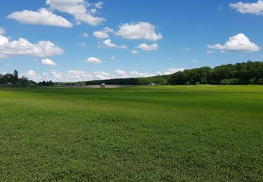
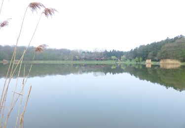
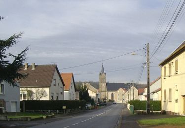
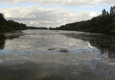
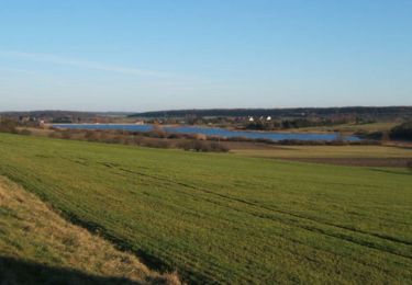
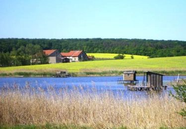
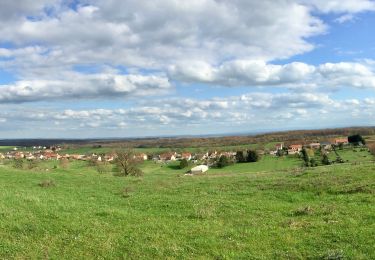
Trail Mountain bike of 27 km to be discovered at Grand Est, Moselle, Farschviller. This trail is proposed by Renard57.
Parcours sympa avec une alternance entre chemin forestier, sentier VTT en forêt et un peu de macadam. Accessible à presque tout le monde.
Walking
On foot

Walking
On foot
Walking
Walking
Mountain bike
Walking