


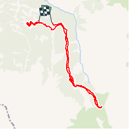

7.2 km | 11 km-effort

User


FREE GPS app for hiking
 SityTrail
IGN / Geographical institutes
SityTrail World
The world is yours!
Trail Walking of 10.5 km to be discovered at Provence-Alpes-Côte d'Azur, Hautes-Alpes, Crévoux. This trail is proposed by Tchoubi.
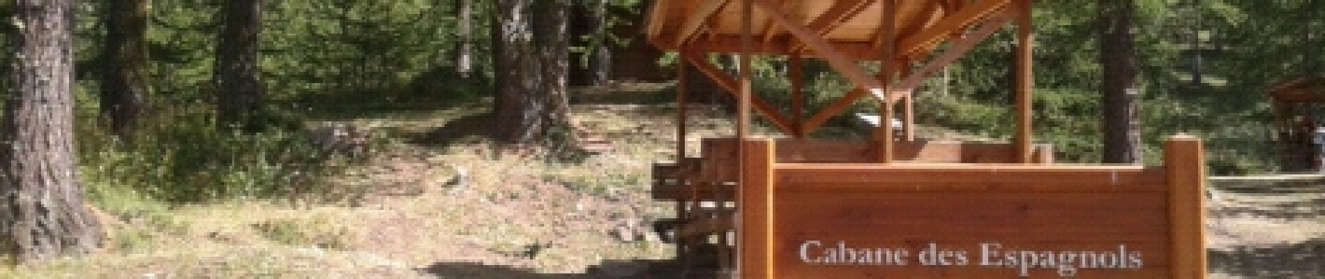
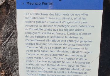
Cette rando se fait les jeudis en été. Elle est payante (5€/pers). Des commentaires sont faits tout au long de la journée par des personnes qui aiment leur métier et leur région.
A midi, une collation est servie avec les produits du terroir.
Le soir on assiste à la traite des vaches.
A faire en famille.


Walking

Other activity

Walking

Walking
Walking

Walking

Touring skiing
Walking
Walking