


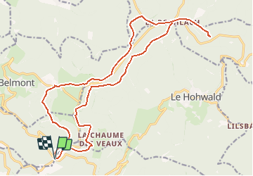


7.8 km | 12.6 km-effort


User


FREE GPS app for hiking
 SityTrail
IGN / Geographical institutes
SityTrail World
The world is yours!
Trail Mountain bike of 22 km to be discovered at Grand Est, Bas-Rhin, Breitenbach. This trail is proposed by sit68000.
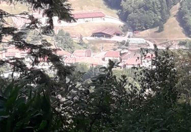
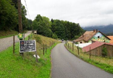
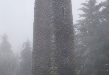
Départ au Col de la Charbonnière. Prendre le chemin au chevalet jaune, puis le sentier qui monte le talus à gauche croix rouge. De là, suivre la croix bleue qui traverse la piste de ski, un ruisseau et monte à la tour du Champ du Feu. Emprunter maintenant le sentier rectangle bleu, également nommé GR531, abritez vous à l'ancienne Métairie, puis la route forestière vous mènera jusqu'à la Rothlach.Un petit chemin aller-retour permet de profiter de la cabane et du paysage du rocher du Neuntelstein. De retour à la Rothlach, prendre le chemin non balisé au lieux dit "La Croix Rouge" et monter à gauche vers la route, récupérer le traçage rectangle rouge (cote 1018m). Suivre ce chemin, passer par le rocher de Rathsamhausen, et vous arriverez sur la route D214. Ne la traversez pas pour suivre le rectangle rouge, mais restez sur ce côté et continuez dans la forêt. Un sentier non balisé longe la route pour arriver à la crête des Myrtilles. Le sentier rond rouge descend vers la Serva et ses pistes de skis.Le retour au col de la Charbonnière se fait par la piste croix jaune. On y croise le rocher de l' Edelweiss.
Walking
Walking

Walking
Walking
Walking
Walking

Mountain bike
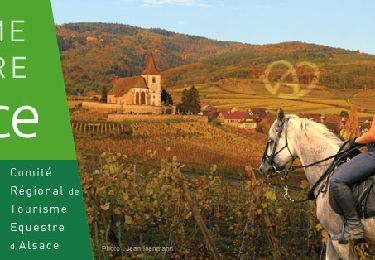
Horseback riding

Horseback riding