


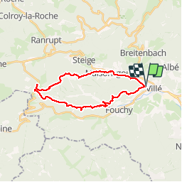


18.4 km | 27 km-effort

User


FREE GPS app for hiking
 SityTrail
IGN / Geographical institutes
SityTrail World
The world is yours!
Trail Walking of 22 km to be discovered at Grand Est, Bas-Rhin, Villé. This trail is proposed by LUTZMarc.
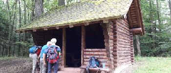
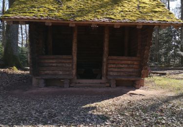
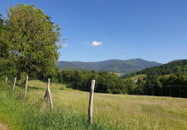
Marche en montagne.
Départ salle des sports de Villé
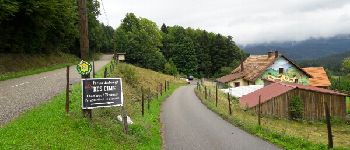
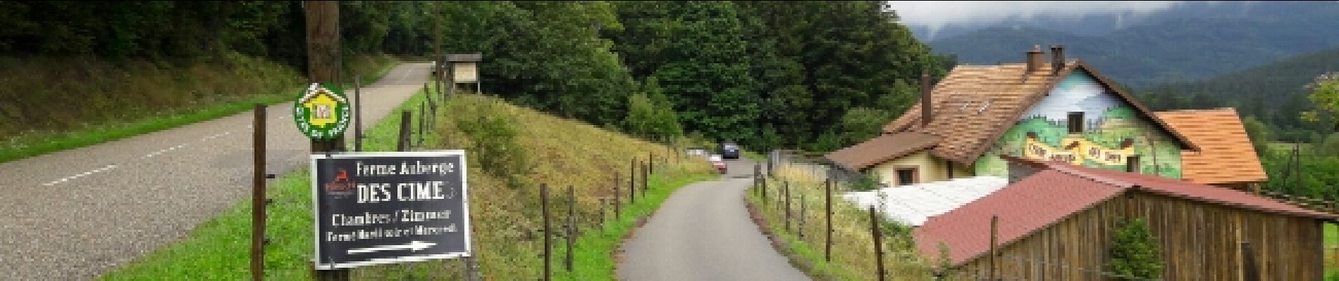
Repas possible à la
ferme Auberge des CIMES.
Il est préférable de réserver.


Mountain bike

Walking

Mountain bike
Walking
Walking
Walking
Walking
Walking
Walking
excellent