


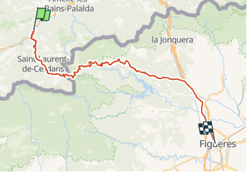

12.8 km | 23 km-effort


User


FREE GPS app for hiking
 SityTrail
IGN / Geographical institutes
SityTrail World
The world is yours!
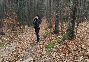
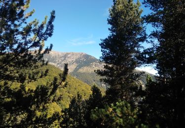
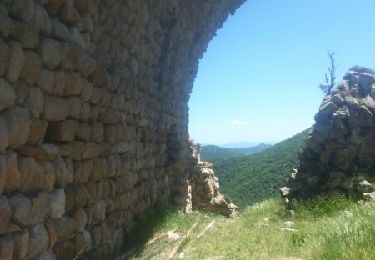
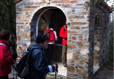
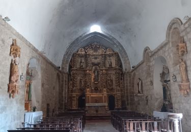
Trail Cycle of 56 km to be discovered at Occitania, Pyrénées-Orientales, Arles-sur-Tech. This trail is proposed by mosse.
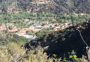
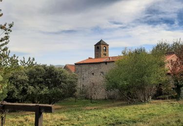
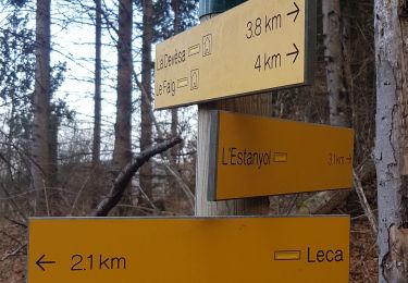
le pas du loup st Laurent-de- Cerdans Coustouges Tapis Macanet de Cabrenys Darnius Pont de Molins Figueres
Walking
Walking
Walking
Walking
Walking
Walking

Walking
Walking
Walking