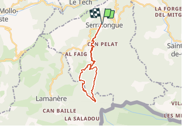
12.1 km | 19.5 km-effort
serralongue Tours de Cabrens_T
force
User
Length
13.3 km
Max alt
1313 m
Uphill gradient
635 m
Km-Effort
22 km
Min alt
698 m
Downhill gradient
636 m
Boucle
Yes
Creation date :
2018-03-23 00:00:00.0
Updated on :
2018-03-23 00:00:00.0
4h39
Difficulty : Medium
FREE GPS app for hiking
About
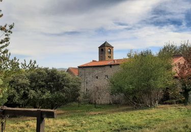
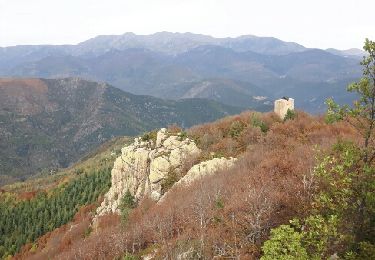
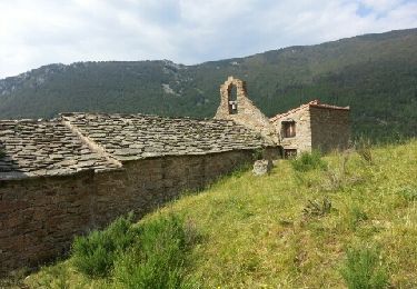
Trail Walking of 13.3 km to be discovered at Occitania, Pyrénées-Orientales, Serralongue. This trail is proposed by force.
Description
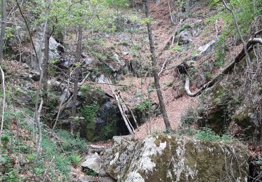
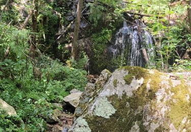
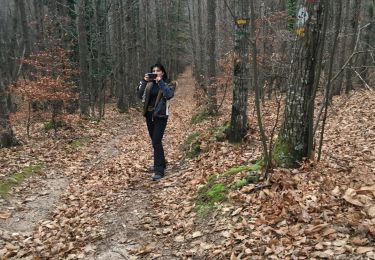
Départ de l'école rando protégée de la tramontane, beaux sous bois
Positioning
Country:
France
Region :
Occitania
Department/Province :
Pyrénées-Orientales
Municipality :
Serralongue
Location:
Unknown
Start:(Dec)
Start:(UTM)
463333 ; 4693979 (31T) N.
Comments
Trails nearby
l,allau st guillem
Walking
Very difficult
Le Tech,
Occitania,
Pyrénées-Orientales,
France
5h 27min
Yes
montferer
Walking
Difficult
(1)
Montferrer,
Occitania,
Pyrénées-Orientales,
France
11.8 km | 16.9 km-effort
5h 32min
Yes
St laurent de cerdans
Walking
Very easy
Saint-Laurent-de-Cerdans,
Occitania,
Pyrénées-Orientales,
France
10.2 km | 13.9 km-effort
3h 6min
No
lamanere-coral_T
Walking
Very easy
Lamanère,
Occitania,
Pyrénées-Orientales,
France
14.9 km | 25 km-effort
5h 18min
Yes
Lamanere_PuigDeComaNegra_T
Walking
Very easy
(1)
Lamanère,
Occitania,
Pyrénées-Orientales,
France
15.9 km | 28 km-effort
5h 48min
Yes
Tours de Cabrens
Walking
Medium
Lamanère,
Occitania,
Pyrénées-Orientales,
France
12 km | 19.6 km-effort
4h 14min
Yes
Col de la roue Saint Guilhem
Walking
Easy
(1)
Le Tech,
Occitania,
Pyrénées-Orientales,
France
15.2 km | 23 km-effort
5h 16min
Yes
Ermitage Saint Guilem Puig Del Pastors
Walking
Medium
Le Tech,
Occitania,
Pyrénées-Orientales,
France
16.7 km | 30 km-effort
6h 16min
Yes