Trail Walking Vaux - Vaux - Moselle - Photo

Vaux - Moselle

© OpenStreetMap contributors
Length
Length
8.6 km
Max alt
Max alt
358 m
Uphill gradient
Uphill gradient
212 m
Km-Effort
Km-Effort  
11.4 km
Min alt
Min alt
207 m
Downhill gradient
Downhill gradient
213 m
Boucle
Boucle
Yes
Creation date :
2014-12-10 00:00:00.0
Updated on :
2014-12-10 00:00:00.0

(0 Reviews)

Walking
Walking
3h08
Difficulty : Medium

Scan this QR Code to open this trail in the SityTrail application

FREE GPS app for hiking

Logo SityTrail SityTrail

IGN / Geographical institutes

Download SityTrail from the App Store Download SityTrail from Google Play

Logo SityTrail SityTrail World

The world is yours!

Download SityTrail from the App Store Download SityTrail from Google Play Download SityTrail on Huawei AppGallery

About

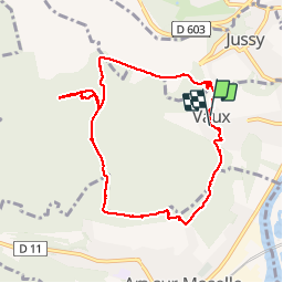
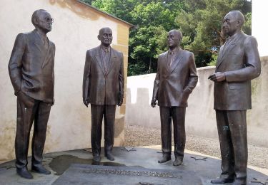
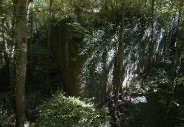
Trail Walking of 8.6 km to be discovered at Grand Est, Moselle, Vaux. This trail is proposed by edmondnagel.

Description

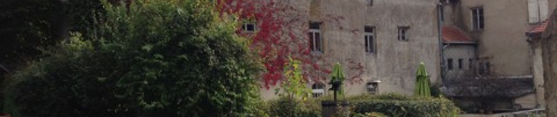
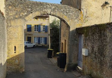
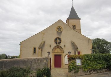
Départ place Saint Rémi - Château de Vaux - rue du grand lavoir - rue du grand Champé - route du Bois de la Dame - pour se diriger vers le Bois de Vaux - Forêt de Vaux - Casemate du Bois La Dame - retour par le chemin de la Noue - place Saint Rémi

Elevation profile

Photos

Positioning

Country:
France
Region :
Grand Est
Department/Province :
Moselle
Municipality :
Vaux
Location:
Unknown
Start:(UTM)
286881 ; 5442022 (32U) N.

Trails nearby

Trail Walking Plappeville - Saint Quentin - Photo
Walking
edmondnagel

Walking

Medium
(1)
Plappeville, Grand Est, Moselle, France
6.9 km | 9.2 km-effort
1h 59min
Yes
Trail Walking Châtel-Saint-Germain - Châtel-Saint-Germain - Photo
Walking
edmondnagel

Walking

Medium
(1)
Châtel-Saint-Germain, Grand Est, Moselle, France
13.8 km | 17 km-effort
3h 39min
Yes
Trail Walking Plappeville - Autour du fort de Plappeville. - Photo
Walking
edmondnagel

Walking

Easy
(1)
Plappeville, Grand Est, Moselle, France
8.9 km | 11 km-effort
2h 55min
Yes
Trail On foot Vaux - Circuit de la Vallée de la Mance - Photo
On foot
PRO

On foot

Easy
Vaux, Grand Est, Moselle, France
12 km | 16 km-effort
3h 37min
Yes
Trail On foot Lessy - Circuit de Plappeville - Photo
On foot
PRO

On foot

Easy
Lessy, Grand Est, Moselle, France
8.5 km | 11.2 km-effort
2h 32min
Yes
Trail On foot Scy-Chazelles - Circuit Robert Schuman - Photo
On foot
PRO

On foot

Easy
Scy-Chazelles, Grand Est, Moselle, France
3.5 km | 5 km-effort
1h 7min
No
Trail On foot Scy-Chazelles - Circuit du Tour du Mont St Quentin - Photo
On foot
PRO

On foot

Easy
Scy-Chazelles, Grand Est, Moselle, France
4.9 km | 6.7 km-effort
1h 31min
No
Trail Mountain bike Rozérieulles - Circuit des Crapauds 2011 - Rozérieulles - Photo
Mountain bike
tracegps

Mountain bike

Difficult
(2)
Rozérieulles, Grand Est, Moselle, France
12.4 km | 16.7 km-effort
1h 0min
Yes
Trail On foot Châtel-Saint-Germain - Circuit de la Ferme Saint-Georges - Photo
On foot
PRO

On foot

Easy
Châtel-Saint-Germain, Grand Est, Moselle, France
3.8 km | 5.5 km-effort
1h 14min
No


Close
My subscriptions