


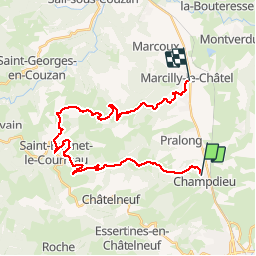


15.8 km | 23 km-effort


User


FREE GPS app for hiking
 SityTrail
IGN / Geographical institutes
SityTrail World
The world is yours!
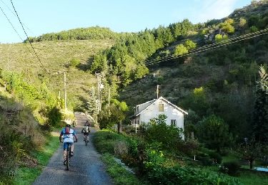
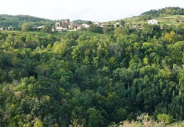
Trail Motor of 27 km to be discovered at Auvergne-Rhône-Alpes, Loire, Champdieu. This trail is proposed by gannet1.
parcours 4X4 mixte. petite ballade sympathique sur le piémont des Monts du Forez. Sans difficulté particulière en 4x4
Walking
Walking

Walking
Mountain bike
Mountain bike

Mountain bike
Mountain bike

Mountain bike

Mountain bike