


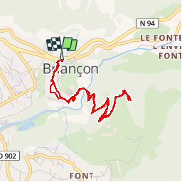


6.5 km | 11 km-effort


User GUIDE


FREE GPS app for hiking
 SityTrail
IGN / Geographical institutes
SityTrail World
The world is yours!
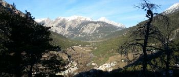
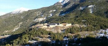
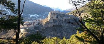
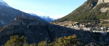
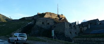
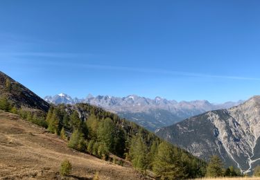
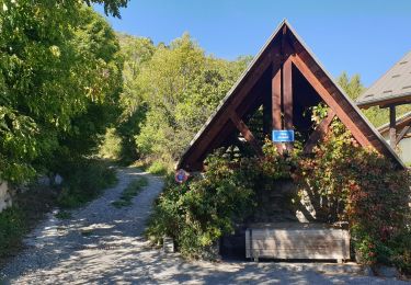
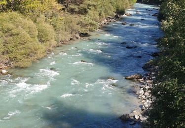
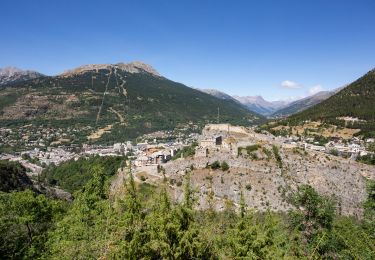
Trail Walking of 5 km to be discovered at Provence-Alpes-Côte d'Azur, Hautes-Alpes, Briançon. This trail is proposed by lhomme.ph.
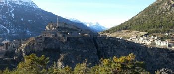
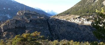
Ballade découverte très facile. Une des plus belles vues sur la vielle ville de Briançon.


Walking

Mountain bike

Walking

Walking
Mountain bike

Mountain bike
Trail
Running
Walking