


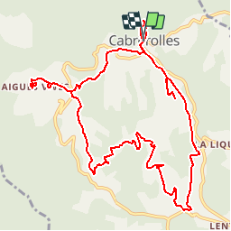

13 km | 18.6 km-effort


User


FREE GPS app for hiking
 SityTrail
IGN / Geographical institutes
SityTrail World
The world is yours!
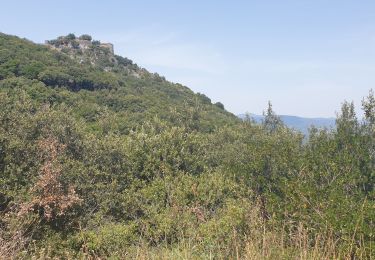
Trail Walking of 14.2 km to be discovered at Occitania, Hérault, Cabrerolles. This trail is proposed by jdelettrez.
Une très belle rando partant de Cabrerolles sur des pistes très praticables et une étonnante structure géologique nommé le Trou du Météore. Parking devant l'église

Walking

Walking
On foot

Mountain bike
Walking
Walking

On foot
Walking
Walking
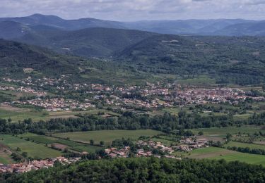
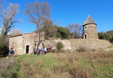
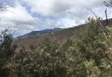
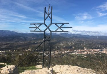
Rando suivie le 13/03/2015. Des taches de peinture rouge sur des cailloux aident à trouver la bonne direction.Rando en pleine nature et dans les vignes un peu montagnes russes.