


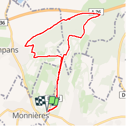


11.8 km | 15.4 km-effort

User


FREE GPS app for hiking
 SityTrail
IGN / Geographical institutes
SityTrail World
The world is yours!
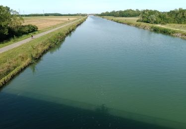
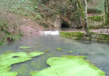
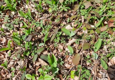
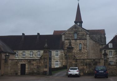
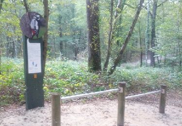
Trail Nordic walking of 9.3 km to be discovered at Bourgogne-Franche-Comté, Jura, Monnières. This trail is proposed by albert39.
Départ parking de Monnières, librairie, descente par la côte 295 sur Sampans, Source de la Foulotière, retour par la carrière et Sanctuaire.


Walking
Walking
Road bike
Walking
Walking
Walking
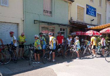
Cycle