


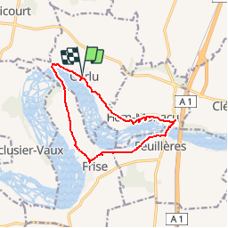

11.2 km | 13.2 km-effort

User


FREE GPS app for hiking
 SityTrail
IGN / Geographical institutes
SityTrail World
The world is yours!
Trail Walking of 11 km to be discovered at Hauts-de-France, Somme, Curlu. This trail is proposed by tracegps.
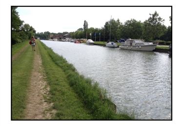
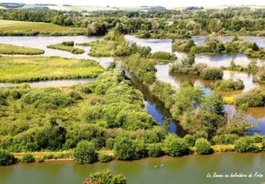
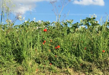
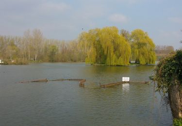
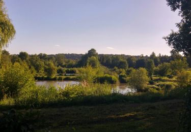
Un magnifique circuit entre étangs, marais et vallée de la Somme pour découvrir des paysages somptueux et une tradition: la pêche.


Walking
Walking
On foot
Walking
Walking

Other activity

Walking

Walking

Walking
bien balisé, court et plat