Trail Walking Soucht - Circuit anneau jaune Soucht - Photo

Circuit anneau jaune Soucht

 tracegps
tracegps

User

© OpenStreetMap contributors
Length
Length
11.5 km
Max alt
Max alt
389 m
Uphill gradient
Uphill gradient
314 m
Km-Effort
Km-Effort  
15.7 km
Min alt
Min alt
260 m
Downhill gradient
Downhill gradient
315 m
Boucle
Boucle
Yes
Creation date :
11/12/2014 00:00
Updated on :
11/12/2014 00:00

(0 Reviews)

Walking
Walking
3h30
Difficulty : Medium

Scan this QR Code to open this trail in the SityTrail application

FREE GPS app for hiking

Logo SityTrail SityTrail

IGN / Geographical institutes

Download SityTrail from the App Store Download SityTrail from Google Play

Logo SityTrail SityTrail Plus

The world is yours!

Download SityTrail from the App Store Download SityTrail from Google Play Download SityTrail on Huawei AppGallery

About

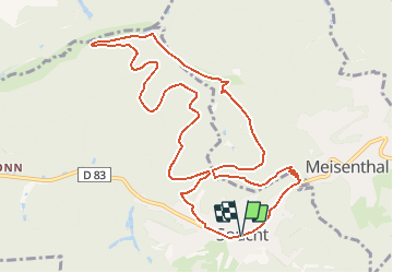
Trail Walking of 11.5 km to be discovered at Grand Est, Moselle, Soucht. This trail is proposed by tracegps.

Description

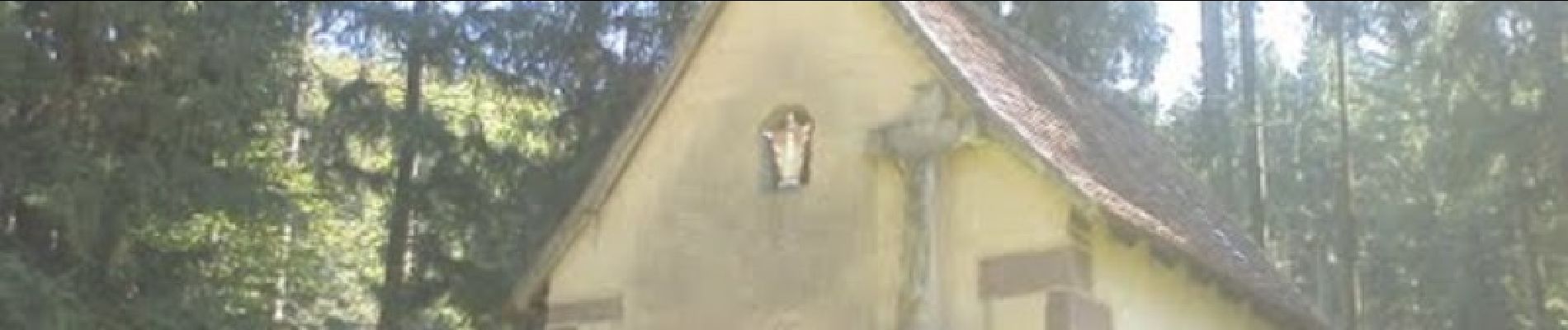
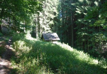
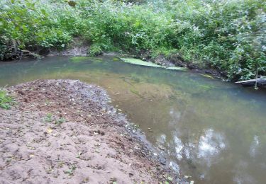
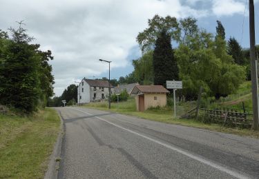
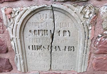
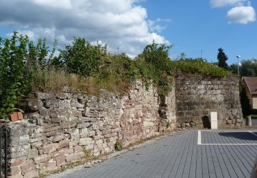
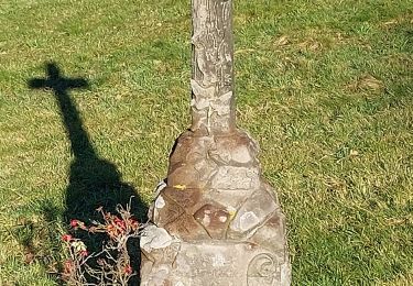
La randonnée se situe au nord de Soucht entre deux vallées, principalement sous couvert forestier. Les rochers sont des affleurements de grès congloméral. Curiosités; abri du Coupeheisel (ancienne maisonnette de bûcherons rénovée), Pauluskapell (chapelle dédiée aux 14 saints auxiliateurs), Deiwelsfelsen, Klosterbrinnel, Jaergerfelsen. Le départ a lieu à Soucht ou à la Oligmuehle (on rejoint alors cet itinéraire par un chemin balisé triangle vert). Restauration possible à Soucht: restaurant au Vieux Sabotier.

Elevation profile

Photos

Positioning

Country:
France
Region :
Grand Est
Department/Province :
Moselle
Municipality :
Soucht
Location:
Unknown
Start:(UTM)
378122 ; 5424214 (32U) N.


Close
My subscriptions