Trail Walking Rœux - Lacs et marais - Roeux - Photo

Lacs et marais - Roeux

 tracegps
tracegps

User

© OpenStreetMap contributors
Length
Length
18.3 km
Max alt
Max alt
67 m
Uphill gradient
Uphill gradient
97 m
Km-Effort
Km-Effort  
19.6 km
Min alt
Min alt
41 m
Downhill gradient
Downhill gradient
97 m
Boucle
Boucle
Yes
Creation date :
2014-12-10 00:00:00.0
Updated on :
2014-12-10 00:00:00.0

(0 Reviews)

Walking
Walking
4h30
Difficulty : Very difficult

Scan this QR Code to open this trail in the SityTrail application

FREE GPS app for hiking

Logo SityTrail SityTrail

IGN / Geographical institutes

Download SityTrail from the App Store Download SityTrail from Google Play

Logo SityTrail SityTrail World

The world is yours!

Download SityTrail from the App Store Download SityTrail from Google Play Download SityTrail on Huawei AppGallery

About

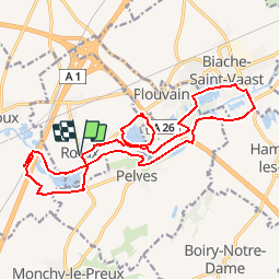
Trail Walking of 18.3 km to be discovered at Hauts-de-France, Pas-de-Calais, Rœux. This trail is proposed by tracegps.

Description

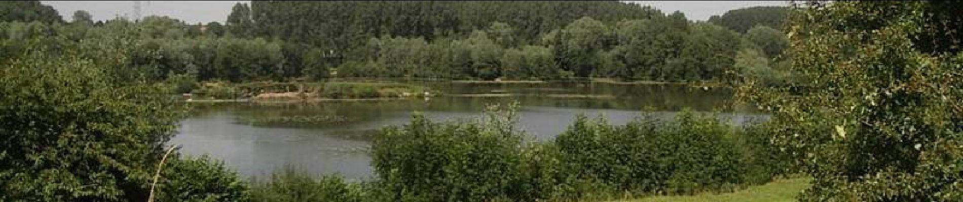
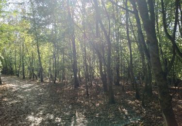
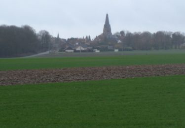
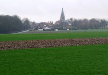
Circuit proposé par la commune de Roeux. Avec les marais qui bordent la Scarpe et une trame verte qui permet de prolonger jusqu'aux villages voisins les joies de la randonnée, Roeux est un point de départ tout désigné pour un retour aux sources. Pour cette randonnée au départ de l'église, bien suivre le sentier aménagé sur les hauteurs du Lac Bleu car les berges qui ont vocation d'espace naturel sensible, sont interdites. Retrouvez le descriptif sur le site de la commune de Roeux.

Elevation profile

Photos

Positioning

Country:
France
Region :
Hauts-de-France
Department/Province :
Pas-de-Calais
Municipality :
Rœux
Location:
Unknown
Start:(UTM)
492738 ; 5571383 (31U) N.

Trails nearby

Trail Walking Athies - Le chemin du Maresquay - Athies - Photo
Walking
tracegps

Walking

Difficult
(1)
Athies, Hauts-de-France, Pas-de-Calais, France
12.9 km | 14.3 km-effort
3h 15min
Yes
Trail Walking Monchy-le-Preux - Le chemin du Caribou - Monchy le Preux - Photo
Walking
tracegps

Walking

Medium
(1)
Monchy-le-Preux, Hauts-de-France, Pas-de-Calais, France
9.2 km | 10.1 km-effort
2h 19min
Yes
Trail Walking Rœux - De Roeux à Pelves via Monchy-le-Preux - Photo
Walking
tracegps

Walking

Medium
Rœux, Hauts-de-France, Pas-de-Calais, France
9.5 km | 10.6 km-effort
2h 30min
Yes
Trail Walking Rœux - De Roeux à Plouvain - Photo
Walking
tracegps

Walking

Easy
Rœux, Hauts-de-France, Pas-de-Calais, France
6.3 km | 6.6 km-effort
1h 34min
Yes
Trail Walking Fampoux - Des bords de la Scarpe - Fampoux - Photo
Walking
tracegps

Walking

Medium
Fampoux, Hauts-de-France, Pas-de-Calais, France
9.6 km | 10.5 km-effort
2h 25min
Yes
Trail Walking Plouvain - Plouvain le Lac Bleu le marais de Biache Saint Waast - Photo
Walking
roclem421

Walking

Medium
Plouvain, Hauts-de-France, Pas-de-Calais, France
10.3 km | 11.1 km-effort
2h 19min
Yes
Trail Walking Monchy-le-Preux - Monchy le Preux - Photo
Walking
tracegps

Walking

Medium
Monchy-le-Preux, Hauts-de-France, Pas-de-Calais, France
9.7 km | 10.6 km-effort
2h 0min
Yes
Trail Walking Pelves - Pelves - Monchy le Preux - Boiry Notre Dame - Photo
Walking
tracegps

Walking

Medium
Pelves, Hauts-de-France, Pas-de-Calais, France
9.9 km | 11.2 km-effort
2h 0min
Yes
Trail Walking Boiry-Notre-Dame - Boiry Notre Dame- les Bonnettes - Sailly - Photo
Walking
tracegps

Walking

Medium
Boiry-Notre-Dame, Hauts-de-France, Pas-de-Calais, France
10.9 km | 11.8 km-effort
2h 0min
Yes


Close
My subscriptions