Trail Mountain bike Sainte-Beuve-en-Rivière - A partir de Ste-Beuve-en-Rivière - Photo

A partir de Ste-Beuve-en-Rivière

 tracegps
tracegps

User

© OpenStreetMap contributors
Length
Length
19.4 km
Max alt
Max alt
234 m
Uphill gradient
Uphill gradient
314 m
Km-Effort
Km-Effort  
24 km
Min alt
Min alt
115 m
Downhill gradient
Downhill gradient
316 m
Boucle
Boucle
Yes
Creation date :
2014-12-10 00:00:00.0
Updated on :
2014-12-10 00:00:00.0

(0 Reviews)

Mountain bike
Mountain bike
2h00
Difficulty : Medium

Scan this QR Code to open this trail in the SityTrail application

FREE GPS app for hiking

Logo SityTrail SityTrail

IGN / Geographical institutes

Download SityTrail from the App Store Download SityTrail from Google Play

Logo SityTrail SityTrail World

The world is yours!

Download SityTrail from the App Store Download SityTrail from Google Play Download SityTrail on Huawei AppGallery

About

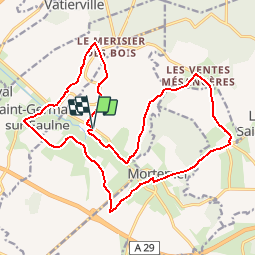
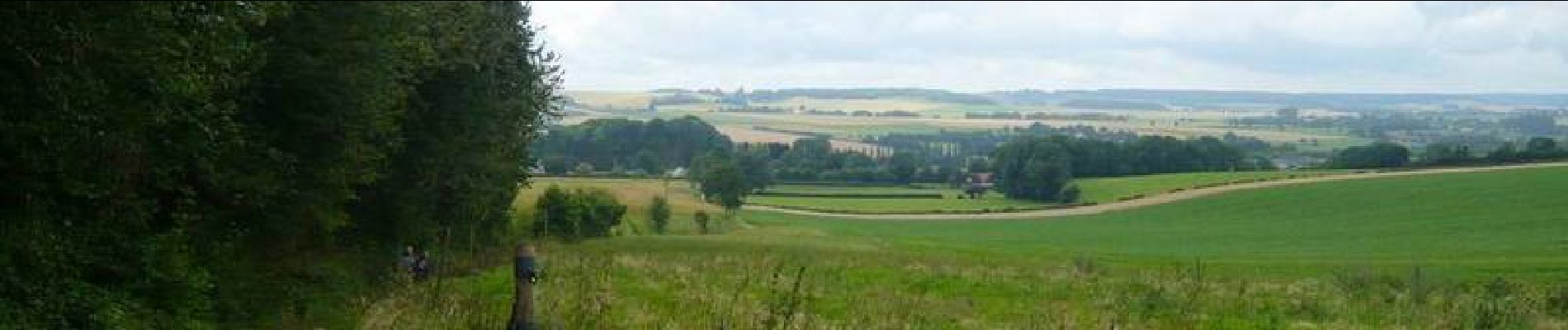
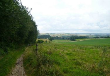
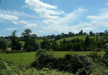
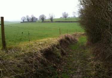
Trail Mountain bike of 19.4 km to be discovered at Normandy, Seine-Maritime, Sainte-Beuve-en-Rivière. This trail is proposed by tracegps.

Description

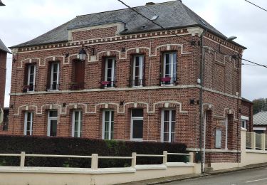
Circuit proposé par l'Office de Tourisme du Pays de Neufchâtelois. Départ de la place de la Mairie de Ste-Beuve-en-Rivière.

Elevation profile

Photos

Positioning

Country:
France
Region :
Normandy
Department/Province :
Seine-Maritime
Municipality :
Sainte-Beuve-en-Rivière
Location:
Unknown
Start:(Dec)
Start:(UTM)
394155 ; 5513366 (31U) N.

Trails nearby

Trail Walking Mortemer - Aux sources de l'Eaulne - Mortemer - Photo
Walking
tracegps

Walking

Medium
(1)
Mortemer, Normandy, Seine-Maritime, France
10.7 km | 12.9 km-effort
2h 45min
Yes
Trail On foot Le Caule-Sainte-Beuve - Circuit du Mont Gournoy - Photo
On foot
PRO

On foot

Easy
Le Caule-Sainte-Beuve, Normandy, Seine-Maritime, France
9.3 km | 11.4 km-effort
2h 36min
Yes
Trail Cycle Saint-Germain-sur-Eaulne - Le Carré - Saint Germain sur Eaulne - Photo
Cycle
tracegps

Cycle

Medium
Saint-Germain-sur-Eaulne, Normandy, Seine-Maritime, France
28 km | 34 km-effort
2h 30min
Yes
Trail Mountain bike Fesques - A partir de Fesques - Photo
Mountain bike
tracegps

Mountain bike

Easy
Fesques, Normandy, Seine-Maritime, France
16.8 km | 20 km-effort
1h 30min
Yes
Trail Walking Flamets-Frétils - La mare aux Daims - Flamets-Fretils - Photo
Walking
tracegps

Walking

Difficult
Flamets-Frétils, Normandy, Seine-Maritime, France
13.9 km | 17.2 km-effort
3h 30min
Yes
Trail Walking Sainte-Beuve-en-Rivière - Au fil de l'Eaulne - Sainte Beuve en Rivière - Photo
Walking
tracegps

Walking

Difficult
Sainte-Beuve-en-Rivière, Normandy, Seine-Maritime, France
12.2 km | 15 km-effort
3h 4min
Yes
Trail Walking Fesques - Randonnée à partir de Fesques - Photo
Walking
tracegps

Walking

Medium
Fesques, Normandy, Seine-Maritime, France
11.5 km | 14 km-effort
2h 55min
Yes
Trail Walking Graval - Promenade à Graval - Photo
Walking
tracegps

Walking

Medium
Graval, Normandy, Seine-Maritime, France
19 km | 23 km-effort
3h 45min
Yes
Trail On foot Callengeville - Le Val l'Alouette et Varimpré - Photo
On foot
PRO

On foot

Easy
Callengeville, Normandy, Seine-Maritime, France
10.4 km | 12.8 km-effort
2h 54min
Yes


Close
My subscriptions