


4.5 km | 6.1 km-effort


User


FREE GPS app for hiking
 SityTrail
IGN / Geographical institutes
SityTrail World
The world is yours!
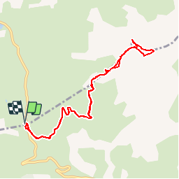
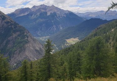
Trail Walking of 10 km to be discovered at Provence-Alpes-Côte d'Azur, Hautes-Alpes, Vars. This trail is proposed by tracegps.
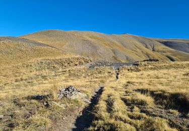
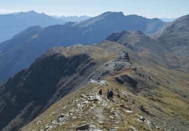
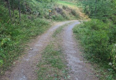
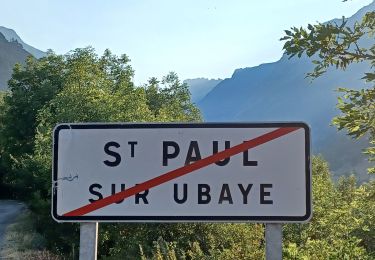
Parking au col de Vars (limite Hautes Alpes, Alpes de Haute Provence). Départ de la rando à droite du Refuge du col (2107 mètres) et monter jusqu'au sommet 2785 mètres. Panorama exceptionnel, possibilité d'aller jusqu'au Lac de l'Etoile ( 3kms). Retour par le même itinéraire, descente soutenue...


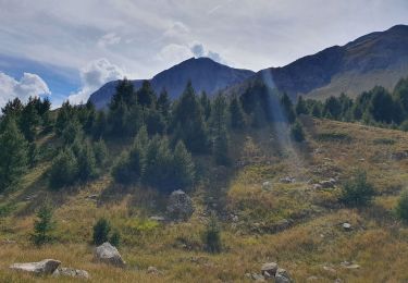
Walking

Other activity
Walking
Walking
Walking
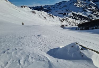
Touring skiing
Walking
Walking
Walking