Trail Walking Vars - La MORTICE ( nord et sud) depuis col de Vars - Photo

La MORTICE ( nord et sud) depuis col de Vars

 tchoua
tchoua

User

© OpenStreetMap contributors
Length
Length
22 km
Max alt
Max alt
3168 m
Uphill gradient
Uphill gradient
1683 m
Km-Effort
Km-Effort  
44 km
Min alt
Min alt
2107 m
Downhill gradient
Downhill gradient
1686 m
Boucle
Boucle
Yes
Creation date :
2023-10-07 08:07:55.909
Updated on :
2023-10-08 05:52:42.67

(0 Reviews)

Walking
Walking
6h41
Difficulty : Very difficult

Scan this QR Code to open this trail in the SityTrail application

FREE GPS app for hiking

Logo SityTrail SityTrail

IGN / Geographical institutes

Download SityTrail from the App Store Download SityTrail from Google Play

Logo SityTrail SityTrail World

The world is yours!

Download SityTrail from the App Store Download SityTrail from Google Play Download SityTrail on Huawei AppGallery

About

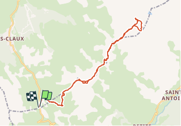
Trail Walking of 22 km to be discovered at Provence-Alpes-Côte d'Azur, Hautes-Alpes, Vars. This trail is proposed by tchoua.

Description

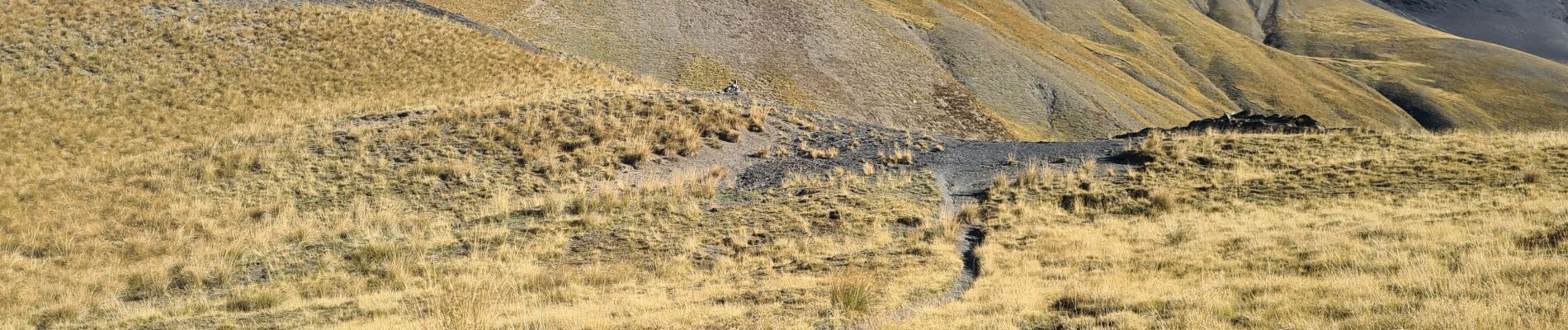
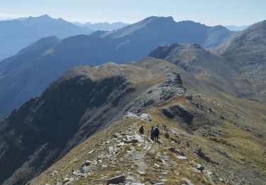
On devrait penser que depuis le col de Vars ce serait la ligne la plus courte pour accéder au sommet des Mortices ,et bien détrompez vous ce sont des montagnes russes qui vous attendent une série qui vous cassent les jambes avant le dernier assaut au col de Serenne  car depuis ce col la montée est encore longue avec 2 franchissements de plateaux calcaire ce qui en fait une curiosité géologique d ailleurs, mais on est largement récompensé par le panorama au sommet.

Elevation profile

Photos

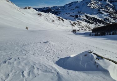
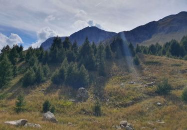
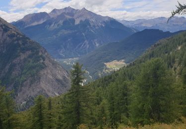
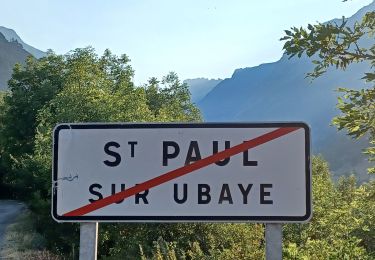
21 photos in total. Please click on a photo to see them all in the gallery.

Positioning

Country:
France
Region :
Provence-Alpes-Côte d'Azur
Department/Province :
Hautes-Alpes
Municipality :
Vars
Location:
Unknown
Start:(UTM)
317504 ; 4934367 (32T) N.

Trails nearby

Trail Walking Vars - boucle col de Vars  - Photo
Walking
marmotte83

Walking

Easy
(2)
Vars, Provence-Alpes-Côte d'Azur, Hautes-Alpes, France
4.5 km | 6.1 km-effort
2h 39min
Yes
Trail Walking Vars - Tête de Paneyron - Col de Vars - Photo
Walking
tracegps

Walking

Difficult
(1)
Vars, Provence-Alpes-Côte d'Azur, Hautes-Alpes, France
10 km | 19 km-effort
3h 0min
Yes
Trail Other activity Vars - vars 2014 01 11 - Photo
Other activity
vincent.bessiron

Other activity

Very easy
(2)
Vars, Provence-Alpes-Côte d'Azur, Hautes-Alpes, France
34 km | 79 km-effort
2h 5min
No
Trail Walking Saint-Paul-sur-Ubaye - pointe de l'Eyssina  - Photo
Walking
orsel

Walking

Medium
Saint-Paul-sur-Ubaye, Provence-Alpes-Côte d'Azur, Alpes-de-Haute-Provence, France
8.7 km | 18 km-effort
6h 54min
No
Trail Walking Saint-Paul-sur-Ubaye - le tour de tournoux  - Photo
Walking
tchoua

Walking

Difficult
Saint-Paul-sur-Ubaye, Provence-Alpes-Côte d'Azur, Alpes-de-Haute-Provence, France
29 km | 49 km-effort
6h 50min
Yes
Trail Touring skiing Vars - tête de crachet Vars - Photo
Touring skiing
tchoua

Touring skiing

Medium
Vars, Provence-Alpes-Côte d'Azur, Hautes-Alpes, France
10.1 km | 21 km-effort
2h 17min
Yes
Trail Walking Vars - Cabane de l'Ecuelle - Photo
Walking
gildascb

Walking

Medium
Vars, Provence-Alpes-Côte d'Azur, Hautes-Alpes, France
4.2 km | 6 km-effort
1h 14min
Yes
Trail Walking Saint-Paul-sur-Ubaye - Ancienne Batterie de Vallon Claous - Photo
Walking
andre06130

Walking

Very difficult
Saint-Paul-sur-Ubaye, Provence-Alpes-Côte d'Azur, Alpes-de-Haute-Provence, France
10.7 km | 19.6 km-effort
3h 16min
Yes
Trail Walking Saint-Paul-sur-Ubaye - SAINT PAUL  . Fouillouse o - Photo
Walking
RobinMicheline

Walking

Easy
Saint-Paul-sur-Ubaye, Provence-Alpes-Côte d'Azur, Alpes-de-Haute-Provence, France
12.6 km | 21 km-effort
3h 52min
Yes


Close
My subscriptions