


4.5 km | 6.1 km-effort

User


FREE GPS app for hiking
 SityTrail
IGN / Geographical institutes
SityTrail World
The world is yours!
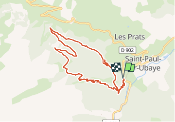
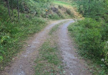
Trail Walking of 10.7 km to be discovered at Provence-Alpes-Côte d'Azur, Alpes-de-Haute-Provence, Saint-Paul-sur-Ubaye. This trail is proposed by andre06130.
Marche avec un bon dénivellé mais pas difficile
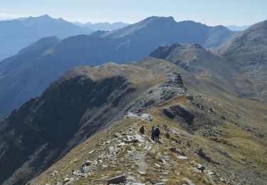
Un petit passage aérien, proche de la batterie, faisable par des enfants "entrainés"


Walking

Walking

Walking

Walking
Walking
Walking
Walking
Walking
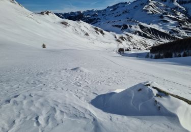
Touring skiing