


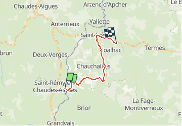

19.9 km | 26 km-effort


User


FREE GPS app for hiking
 SityTrail
IGN / Geographical institutes
SityTrail World
The world is yours!
Trail Walking of 14.8 km to be discovered at Occitania, Lozère, Brion. This trail is proposed by tracegps.
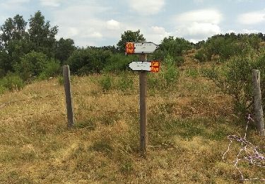
Départ du centre de La Chaldette. On débute par la montée à Reyrac. Passage près de la roche du Cheylaret, du village du même nom où se trouve un panneau expliquant les utilités du mobilier rural. On continue par la forêt jusqu'à Fournels.


Walking
Walking
Walking
Walking

Walking

Walking
Walking