


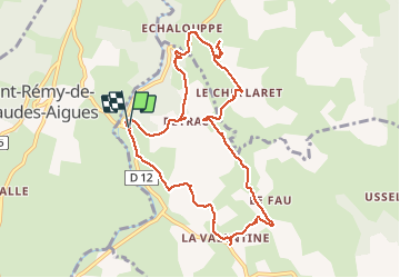


19.9 km | 26 km-effort


User


FREE GPS app for hiking
 SityTrail
IGN / Geographical institutes
SityTrail World
The world is yours!
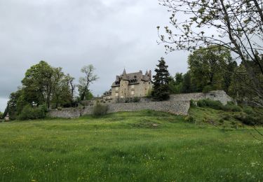
Trail Walking of 10.5 km to be discovered at Occitania, Lozère, Brion. This trail is proposed by jeff66.
LA CHALDETTE 48 - D12 - la Prugne - Puech de la Chios - la Valentine - le Fau - Reyrac - le Cheylaret - rocher du Cheylaret vierge table d'orientation - vue panoramique a 360 degrés - GR de pays du tour des monts d'Aubrac - vue sur le truc du Cheylaret - Reyrac -


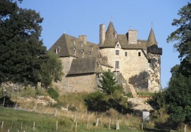
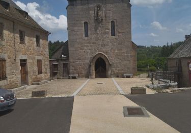
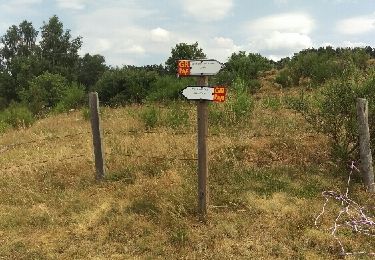
24 photos in total. Please click on a photo to see them all in the gallery.

Walking

Walking

Walking
Walking

Walking

Walking
Walking