


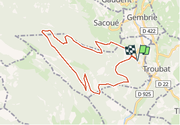

11.4 km | 20 km-effort

User


FREE GPS app for hiking
 SityTrail
IGN / Geographical institutes
SityTrail World
The world is yours!
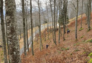
Trail Walking of 9.9 km to be discovered at Occitania, Hautespyrenees, Bramevaque. This trail is proposed by tracegps.
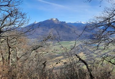
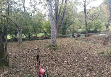
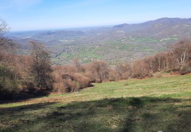
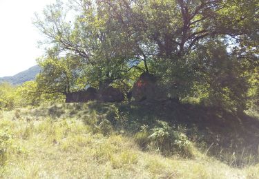
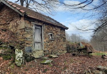
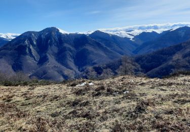
Joli circuit de basse montagne (sous les 1300m) mais très agréable. Il permet de faire une bonne initiation au trail (course à pied en montagne), avec plusieurs variantes permettant d'aller jusqu'au sommet (1450m) si la condition physique et la météo sont au rendez-vous. Faire attention en automne car c'est une zone de chasse fréquentée mais partagée sans contrainte!


Walking

Walking
Walking
Walking
Walking
Walking
Walking

On foot
Walking